Souffel
| Souffel | |
|---|---|
.jpg) | |
  | |
| Location | |
| Country | France |
| Physical characteristics | |
| Source | Kuttolsheim |
| • location | France |
| Mouth | Confluence with River Ill |
• location | La Wantzenau, France |
• coordinates | 48°38′22″N 7°47′33″E / 48.63944°N 7.79250°E |
| Length | 25 km (16 mi) |
| Basin features | |
| Progression | Ill→ Rhine→ North Sea |
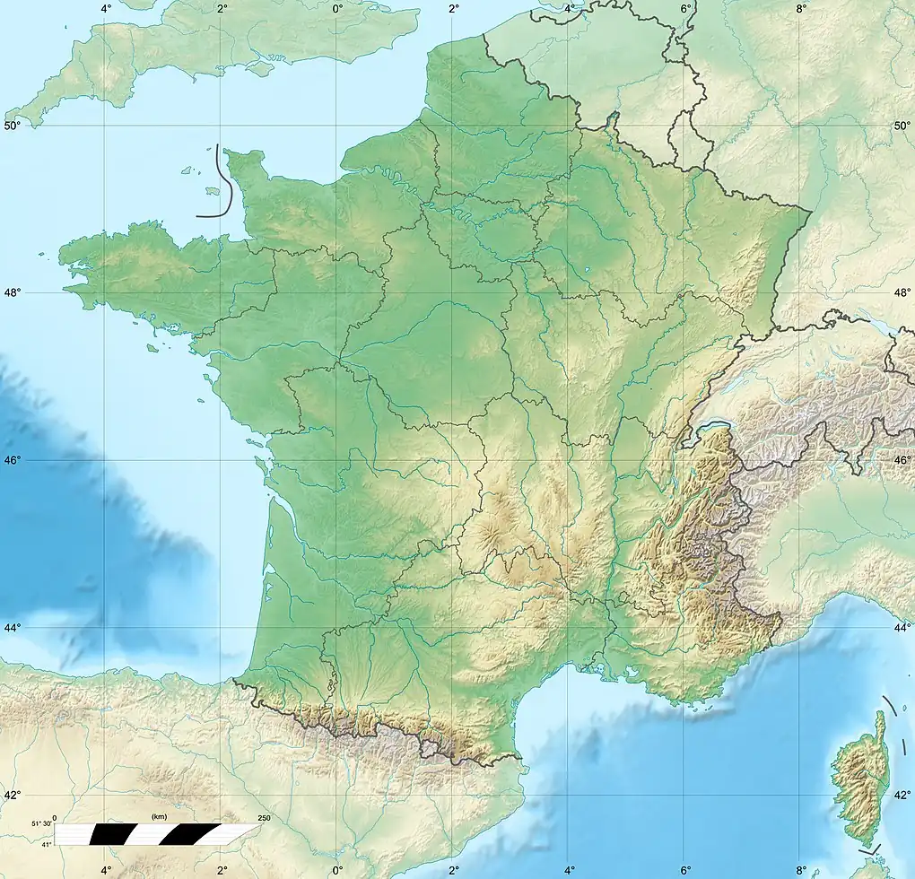
The Souffel (German: Suffel) is a river in Alsace, France. It rises near Kuttolsheim and joins the river Ill (a tributary of the Rhine), south of La Wantzenau after a course of 25 kilometres (16 mi).[1] It gave its name to two villages on its banks: Souffelweyersheim and Griesheim-sur-Souffel.[1] Tributaries of the Souffel are Haltbach, Plaetzerbach, Musaubach, Kolbsenbach[2] and Leisbach.[3] In 1815 the Battle of La Suffel was fought on its banks.
References
- ^ a b Sandre. "Fiche cours d'eau - La Souffel (A29-0200)".
- ^ Agence de l'eau Rhin-Meuse, DIREN Lorraine - www.environnement.gouv.fr/lorraine/ 2000.
- ^ Autoroute A355: Grand Contournement Ouest de Strasbourg Mai 2006. p. 8.