Spalbeek
Spalbeek | |
|---|---|
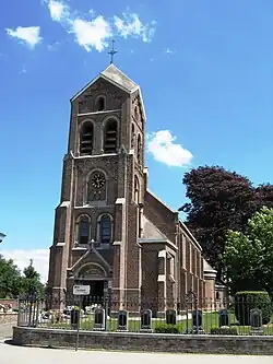 Church of the Annunciation | |
Location of Spalbeek | |
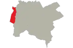 Location of Spalbeek in Hasselt | |
 Spalbeek 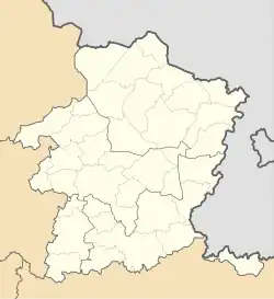 Spalbeek | |
| Coordinates: 50°57′00″N 5°14′00″E / 50.95000°N 5.23333°E | |
| Country | |
| Community | |
| Region | |
| Province | |
| Arrondissement | Hasselt |
| Municipality | Hasselt |
| Area | |
• Total | 4.75 km2 (1.83 sq mi) |
| Population (2020-01-01) | |
• Total | 2,135 |
| • Density | 450/km2 (1,200/sq mi) |
| Postal codes | 3510 |
| Area codes | 011 |
| Website | spalbeek2.be |
Spalbeek (Dutch pronunciation: [ˈspɑlbeːk]) is a sub-municipality of the city of Hasselt located in the province of Limburg, Flemish Region, Belgium. It was a separate municipality until 1971. In 1971, it was merged into Kermt. On 1 January 1977, Kermt was merged into Hasselt.[1]
References
Wikimedia Commons has media related to Spalbeek.