Sparrowpit
| Sparrowpit | |
|---|---|
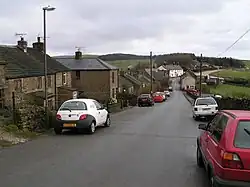 Looking eastwards to the A623 and the Wanted Inn. This direct but steep road to Chapel-en-le-Frith through the village is the original turnpike route, but was superseded in the late 18th century by a new road via Barmoor Clough. The modern main road follows the newer route, hence the sharp bend at Sparrowpit. | |
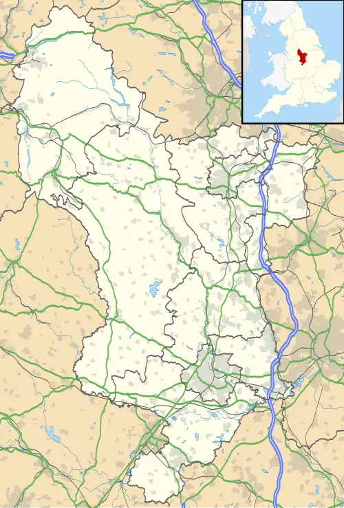 Sparrowpit Location within Derbyshire | |
| OS grid reference | SK090806 |
| District | |
| Shire county | |
| Region | |
| Country | England |
| Sovereign state | United Kingdom |
| Post town | Buxton |
| Postcode district | SK17 |
| Police | Derbyshire |
| Fire | Derbyshire |
| Ambulance | East Midlands |
| UK Parliament | |
Sparrowpit is a small village between Chapel-en-le-Frith and Peak Forest in the High Peak area of the Peak District, Derbyshire, England.[1]
The name is derived from 'spar row pit' from the fluorspar mines.
The village has an active community, including a methodist chapel and village hall.
It is situated at a crossroads where the main road (A623) takes a right-angled bend at the Wanted Inn. From this junction, one minor road takes a different and hillier route to Chapel-en-le-Frith, and another heads for Mam Tor and Castleton by way of the Winnats Pass.[2]
The watershed between rivers running east into the North Sea and west into the Irish Sea runs almost exactly through the village.
References
- ^ "Sparrowpit". Peak District Online. Retrieved 7 May 2023.
- ^ Pakington, Humphrey (6 September 2016). English Villages And Hamlets. Read Books Ltd. ISBN 978-1-4733-5326-8.