Stäfeliflue
| Stäfeliflue | |
|---|---|
 Stäfeliflue (left summit) | |
| Highest point | |
| Elevation | 1,922 m (6,306 ft) |
| Prominence | 227 m (745 ft)[1] |
| Parent peak | Mount Pilatus |
| Coordinates | 46°57′52.5″N 8°09′52″E / 46.964583°N 8.16444°E |
| Geography | |
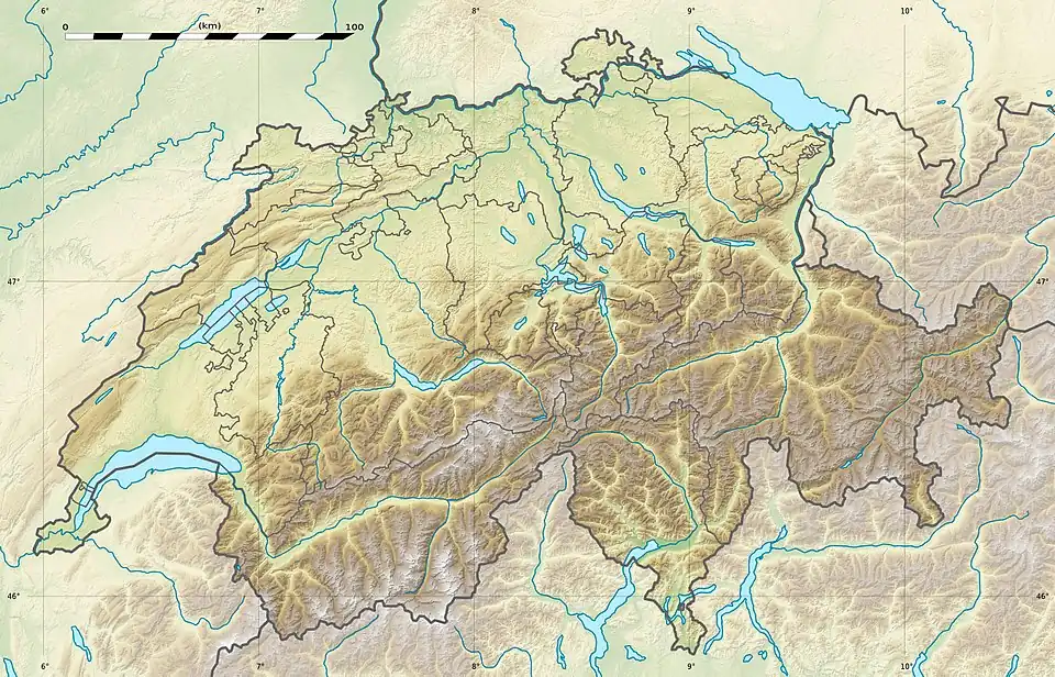 Stäfeliflue Location in Switzerland | |
| Location | Lucerne/Obwalden, Switzerland |
| Parent range | Emmental Alps |
The Stäfeliflue (1,922 m) is a mountain of the Emmental Alps, located on the border between the Swiss cantons of Lucerne and Obwalden.
References
- ^ Retrieved from the Swisstopo topographic maps and Google Earth. The key col is located east of the Rot Dossen at 1,695 metres.
External links