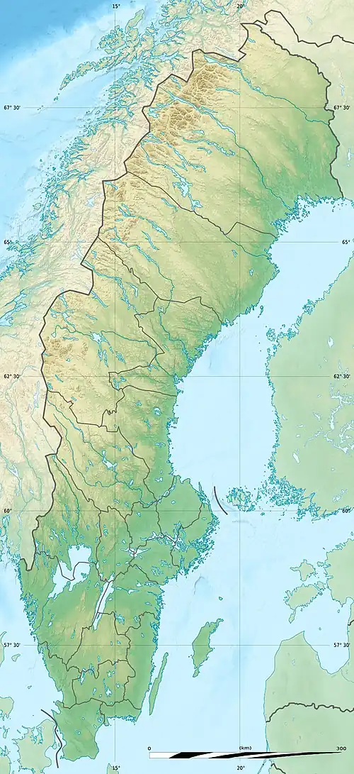
Stöttingfjället
| Stöttingfjället | |
|---|---|
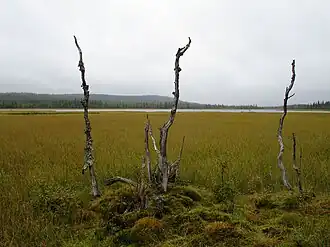 Kroksjön near the village Kroksjö on Stöttingfjället in Lycksele municipality. | |
| Highest point | |
| Elevation | 716 m (2,349 ft) |
| Coordinates | 64°40′00″N 17°36′00″E / 64.6667°N 17.6000°E |
| Geography | |
 Stöttingfjället | |
| Geology | |
| Rock age | Paleoproterozoic |
Stöttingfjället is a highland in Swedish Lapland. Geologically, the southeastern portion of Stöttingsfjället is interpreted as being a part of the Sub-Cambrian peneplain that have been uplifted by faults.[1]
References
- ^ Lidmar-Bergström, Karna; Olvmo, Mats (2015). Plains, steps, hilly relief and valleys in northern Sweden – review, interpretations and implications for conclusions on Phanerozoic tectonics (PDF) (Report). Geological Survey of Sweden. p. 12. Retrieved June 29, 2016.