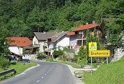
Stahovica
Stahovica | |
|---|---|
 | |
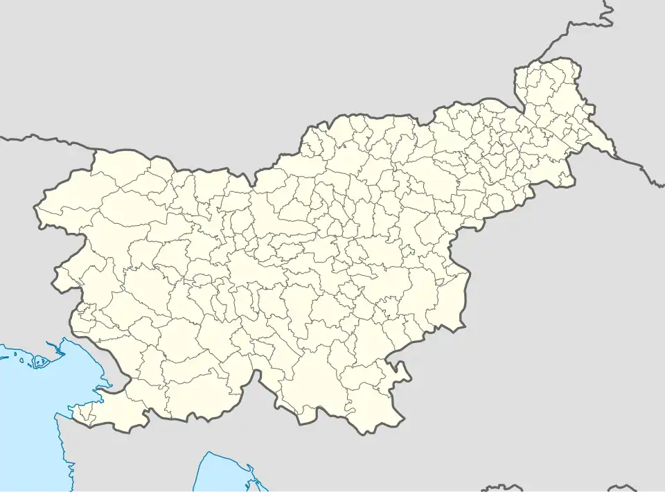 Stahovica Location in Slovenia | |
| Coordinates: 46°16′16.76″N 14°36′24.31″E / 46.2713222°N 14.6067528°E | |
| Country | |
| Traditional region | Upper Carniola |
| Statistical region | Central Slovenia |
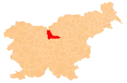
| Municipality | Kamnik |
| Area | |
• Total | 1.89 km2 (0.73 sq mi) |
| Elevation | 442.9 m (1,453.1 ft) |
| Population (2002) | |
• Total | 187 |
| [1] | |
Stahovica (pronounced [staˈxoːʋitsa]) is a settlement that stretches along the road leading into the upper Kamnik Bistrica Valley in the Municipality of Kamnik in the Upper Carniola region of Slovenia.
References
External links