Stare Krzewo
Stare Krzewo | |
|---|---|
Village | |
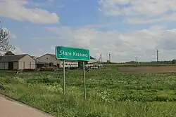 Entrance sign in Stare Krzewo | |
 Stare Krzewo | |
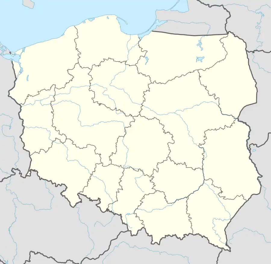
| Coordinates: 53°6′N 22°36′E / 53.100°N 22.600°E | |
| Country | |
| Voivodeship | Podlaskie |
| County | Białystok |
| Gmina | Zawady |
| Time zone | UTC+1 (CET) |
| • Summer (DST) | UTC+2 (CEST) |
| Vehicle registration | BIA |
| Highways | |
Stare Krzewo [ˈstarɛ ˈkʂɛvɔ] is a village in the administrative district of Gmina Zawady, within Białystok County, Podlaskie Voivodeship, in north-eastern Poland.[1] It lies approximately 8 km (5 mi) south-west of Zawady and 38 km (24 mi) west of the regional capital Białystok.
History
Stare Krzewo, Nowe Krzewo and Krzewo-Plebanki were recognized as separate villages already in the 15th century.[2]
During World War II, the village was occupied by the Soviet Union from 1939 to 1941, and by Nazi Germany from 1941 to 1944. In 1941, the Germans established a forced labour camp in the village.[3] Around 2,000 Jewish men and women were imprisoned there.[3] The camp was dissolved in 1943, and its prisoners were deported to the Treblinka extermination camp.[3]
Transport
The Expressway S8 passes through the village.
References
- ^ "Główny Urząd Statystyczny" [Central Statistical Office] (in Polish). To search: Select "Miejscowości (SIMC)" tab, select "fragment (min. 3 znaki)" (minimum 3 characters), enter town name in the field below, click "WYSZUKAJ" (Search).
- ^ Słownik geograficzny Królestwa Polskiego i innych krajów słowiańskich, Tom IV (in Polish). Warsaw. 1883. p. 791.
{{cite book}}: CS1 maint: location missing publisher (link) - ^ a b c Sędziak, Zdzisław (2000). "Eksploatacja ludności regionu łomżyńskiego przez pracę na rzecz III Rzeszy". Studia Łomżyńskie (in Polish). No. 11. p. 207.