State Line, St. Joseph County, Indiana
State Line | |
|---|---|
 State Line  State Line | |
| Coordinates: 41°45′30″N 86°15′15″W / 41.75833°N 86.25417°W | |
| Country | United States |
| State | Indiana |
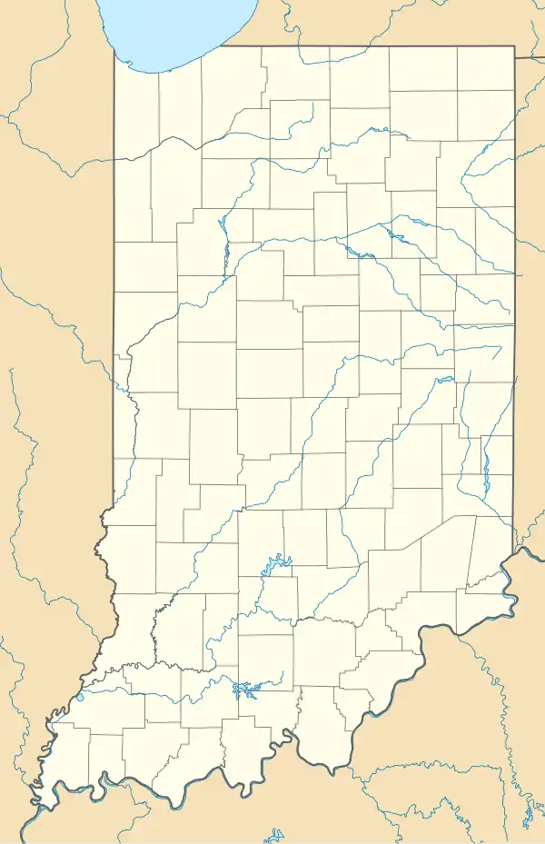
| County | St. Joseph |
| Township | Clay |
| Elevation | 719 ft (219 m) |
| Time zone | UTC-5 (Eastern (EST)) |
| • Summer (DST) | UTC-4 (EDT) |
| ZIP code | 46637 |
| Area code | 574 |
| GNIS feature ID | 452857[1] |
State Line is an unincorporated community in Clay Township, St. Joseph County, in the U.S. state of Indiana.[1]
The community is close to the state border between Indiana and Michigan, and is part of the South Bend–Mishawaka IN-MI, Metropolitan Statistical Area.
References
Municipalities and communities of St. Joseph County, Indiana, United States | ||
|---|---|---|
| Cities |  | |
| Towns | ||
| Townships | ||
| CDPs | ||
| Other communities | ||
| Footnotes | ‡This populated place also has portions in an adjacent county or counties | |