Staufenberg, Lower Saxony
Staufenberg | |
|---|---|
 | |
 Coat of arms | |
Location of Staufenberg within Göttingen district 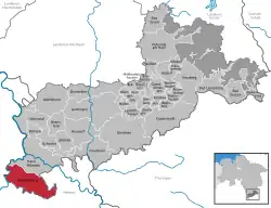 | |
 Staufenberg 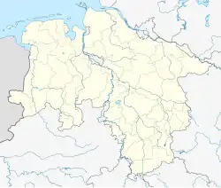 Staufenberg | |
| Coordinates: 51°21′00″N 09°35′59″E / 51.35000°N 9.59972°E | |
| Country | Germany |
| State | Lower Saxony |
| District | Göttingen |
| Government | |
| • Mayor (2021–26) | Bernd Grebenstein[1] |
| Area | |
• Total | 77.55 km2 (29.94 sq mi) |
| Elevation | 288 m (945 ft) |
| Population (2023-12-31)[2] | |
• Total | 7,523 |
| • Density | 97/km2 (250/sq mi) |
| Time zone | UTC+01:00 (CET) |
| • Summer (DST) | UTC+02:00 (CEST) |
| Postal codes | 34355 |
| Dialling codes | 05543 |
| Vehicle registration | GÖ |
| Website | www.staufenberg-nds.de |
Staufenberg (German pronunciation: [ˈʃtaʊfn̩ˌbɛʁk] ⓘ) is the southernmost municipality of the district of Göttingen, and of Lower Saxony, Germany. It is situated east of the river Fulda, approx. 6 km south of Hannoversch Münden, and 12 km northeast of Kassel. Its seat is in the village Landwehrhagen.
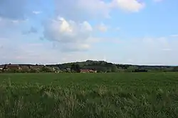
Points of interest
References