Stenlille
Stenlille | |
|---|---|
Town | |
 Stenlille railway station | |
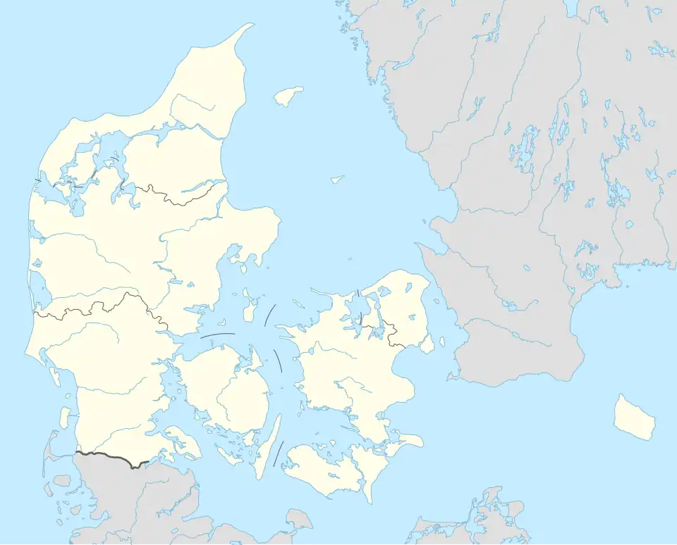 Stenlille Location in Denmark .svg.png) Stenlille Stenlille (Denmark Region Zealand) | |
| Coordinates: 55°32′20″N 11°35′30″E / 55.53889°N 11.59167°E | |
| Country | Denmark |
| Region | Region Zealand |
| Municipality | Sorø Municipality |
| Area | |
| • Urban | 1.3 km2 (0.5 sq mi) |
| Population (2025)[1] | |
| • Urban | 2,087 |
| • Urban density | 1,600/km2 (4,200/sq mi) |
| Time zone | UTC+1 (CET) |
| • Summer (DST) | UTC+2 (CEST) |
| Postal code | DK-4295 Stenlille |
Stenlille is a railway town, with a population of 2,087 (1 January 2025),[1] in Sorø Municipality, Region Zealand in Denmark.
Stenlille was the municipal seat of the former Stenlille Municipality until 1 January 2007.
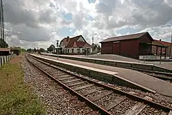
Stenlille is served by Stenlille railway station on the Tølløse railway line.
.jpg)
Stenlille Church is located in the southern part of the town.[2]
One of Denmark's two underground sites for natural gas storage is located near Stenlille.[3] In operation since 1989, it has a capacity of 3 billion cubic meters.[4]
References
- ^ a b BY3: Population 1. January by urban areas, area and population density The Mobile Statbank from Statistics Denmark
- ^ Stenlille Kirke
- ^ GEUS
- ^ Laier & Øbro 2009, p. 81.
Sources
- Laier, T.; Øbro, H. (2009). "Environmental and safety monitoring of the natural gas underground storage at Stenlille, Denmark". Geological Society, London, Special Publications. 313 (1): 81–92. doi:10.1144/SP313.6. ISSN 0305-8719.