Stirrat, West Virginia
Stirrat, West Virginia | |
|---|---|
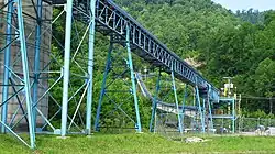 Coal conveyor in Stirrat | |
 Stirrat  Stirrat | |
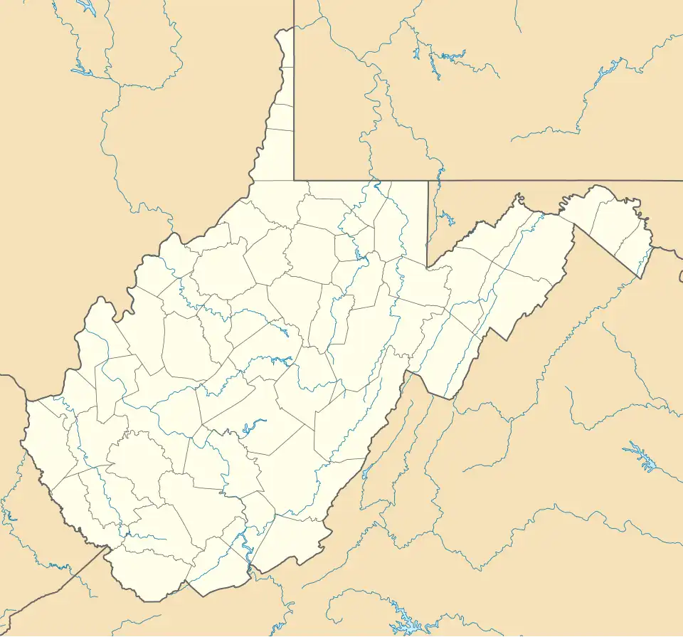
| Coordinates: 37°43′35″N 82°00′08″W / 37.72639°N 82.00222°W | |
| Country | United States |
| State | West Virginia |
| County | Logan |
| Elevation | 912 ft (278 m) |
| Time zone | UTC-5 (Eastern (EST)) |
| • Summer (DST) | UTC-4 (EDT) |
| Area codes | 304 & 681 |
| GNIS feature ID | 1555715[1] |
Stirrat is an unincorporated community in Logan County, West Virginia, United States. Stirrat is located along Island Creek and West Virginia Route 44, 8.4 miles (13.5 km) south of Logan.[2] The southern part of the community is within the Sarah Ann census-designated place.
References
- ^ "Stirrat". Geographic Names Information System. United States Geological Survey, United States Department of the Interior.
- ^ Logan County, West Virginia General Highway Map (PDF) (Map). West Virginia Department of Transportation. 2011. p. 2. Archived from the original (PDF) on February 6, 2012. Retrieved October 27, 2011.
