Stockrange, Kansas
Stockrange, Kansas | |
|---|---|
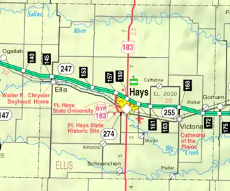 KDOT map of Ellis County (legend) | |
 Stockrange  Stockrange | |
| Coordinates: 38°39′05″N 99°33′36″W / 38.65139°N 99.56000°W | |
| Country | United States |
| State | Kansas |
| County | Ellis |
| Elevation | 2,159 ft (658 m) |
| Population | |
• Total | 0 |
| Time zone | UTC-6 (CST) |
| • Summer (DST) | UTC-5 (CDT) |
| Area code | 785 |
| GNIS ID | 482185[1] |
Stockrange is a ghost town in Lookout Township, Ellis County, Kansas, United States.
History
Stockrange was issued a post office in 1883. The post office was discontinued in 1895.[2] Stockrange was re-formed in Trego County, with a post office from 1900 to 1908.[3] The area was part of Smoky Hill Township until its consolidation into Lookout Township in the 1970s.[4]
References
- ^ "US Board on Geographic Names". United States Geological Survey. July 1, 1984. Retrieved December 30, 2017.
- ^ "Kansas Post Offices, 1828-1961". Kansas Historical Society. Retrieved December 30, 2017.
- ^ "Kansas Post Offices, 1828-1961". Kansas Historical Society. Retrieved December 30, 2017.
- ^ "Kansas Civil Townships and Independent Cities - Kansas Historical Society". www.kshs.org. Retrieved January 21, 2024.
Further reading
Municipalities and communities of Ellis County, Kansas, United States | ||
|---|---|---|
| Cities |  | |
| CDPs | ||
| Unincorporated communities | ||
| Ghost towns | ||
| Townships | ||