Strahwalde
Strahwalde | |
|---|---|
Location of Strahwalde | |
 Strahwalde 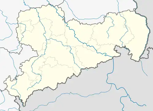 Strahwalde | |
| Coordinates: 51°2′0″N 14°43′12″E / 51.03333°N 14.72000°E | |
| Country | Germany |
| State | Saxony |
| District | Görlitz |
| Town | Herrnhut |
| Subdivisions | 2 |
| Area | |
• Total | 9.89 km2 (3.82 sq mi) |
| Elevation | 340 m (1,120 ft) |
| Population (2006-12-31) | |
• Total | 798 |
| • Density | 81/km2 (210/sq mi) |
| Time zone | UTC+01:00 (CET) |
| • Summer (DST) | UTC+02:00 (CEST) |
| Postal codes | 02747 |
| Dialling codes | 035873 |
| Vehicle registration | GR |
Strahwalde is a village and a former municipality in the district Görlitz, in Saxony, Germany. Since 1 January 2010, it is part of the town Herrnhut.[1]
References
- ^ Strahwalde in the Digital Historic Index of Places in Saxony (Digitales Historisches Ortsverzeichnis von Sachsen)