Suggan Buggan, Victoria
| Suggan Buggan Victoria | |
|---|---|
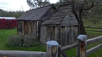 This entirely wooden schoolhouse was built in 1865. | |
 Suggan Buggan | |
| Coordinates | 36°57′11″S 148°19′33″E / 36.95306°S 148.32583°E |
| Population | 5 (2021 census)[1] |
| Postcode(s) | 3885 |
| Time zone | AEST (UTC+10) |
| • Summer (DST) | AEST (UTC+11) |
| LGA(s) | Shire of East Gippsland |
| State electorate(s) | Gippsland East |
| Federal division(s) | Division of Gippsland |
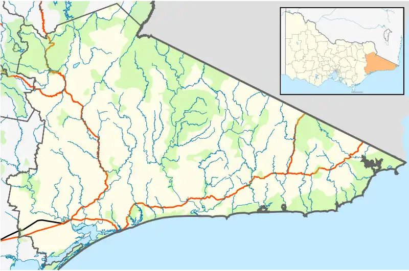
Suggan Buggan is a locality in the Shire of East Gippsland, Victoria, Australia. It is located on the border with New South Wales.[2][3] At the 2021 census, Suggan Buggan had a population of 5.[1]
The traditional custodians of the area are the Australian Aboriginal Bidawal and Nindi-Ngudjam Ngarigu Monero peoples.[4] The name of the locality supposedly derives from the Aboriginal phrase "bukkan bukkan", which describes bags made from grass.[5]
Suggan Buggan is surrounded by the Alpine National Park. There is a free camping area on the Suggan Buggan River. Several historical remains exist, including a well preserved 1860s wooden schoolhouse and an old house.
Gallery
-
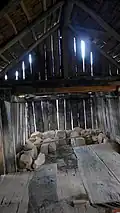 Interior of the schoolhouse.
 -
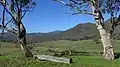 Farming area around Suggan Buggan
References
- ^ a b Australian Bureau of Statistics (28 June 2022). "Suggan Buggan". 2021 Census QuickStats. Retrieved 7 January 2025.
- ^ "Suggan Buggan". Victoria. Retrieved 19 September 2022.
- ^ "Suggan Buggan, Victoria: Travel guide and things to do". Traveller. 23 January 2015. Retrieved 19 September 2022.
- ^ "Snowy River National Park". Parks Victoria. Archived from the original on 2 October 2011. Retrieved 23 January 2023.
- ^ "Suggan Buggan". Sydney Morning Herald. 8 February 2004. Retrieved 22 January 2023.