Sullivan Branch (Marshyhope Creek tributary)
| Sullivan Branch Tributary to Marshyhope Creek | |
|---|---|
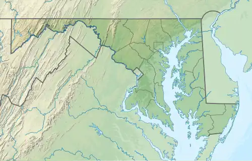 Location of Sullivan Branch mouth  Sullivan Branch (Marshyhope Creek tributary) (the United States) | |
| Location | |
| Country | United States |
| State | Maryland |
| County | Caroline |
| Physical characteristics | |
| Source | confluence of Wolfpit and Raccoon Branches |
| • location | about 3 miles north of Federalsburg, Maryland |
| • coordinates | 38°45′15.41″N 075°46′56.76″W / 38.7542806°N 75.7824333°W[1] |
| • elevation | 38 ft (12 m)[1] |
| Mouth | Marshyhope Creek |
• location | about 2.5 miles north-northeast of Federalsburg, Maryland[1] |
• coordinates | 38°46′45.41″N 075°45′38.76″W / 38.7792806°N 75.7607667°W[1] |
• elevation | 6 ft (1.8 m)[1] |
| Length | 2.34 mi (3.77 km)[2] |
| Basin size | 7.05 square miles (18.3 km2)[3] |
| Discharge | |
| • location | Marshyhope Creek |
| • average | 8.19 cu ft/s (0.232 m3/s) at mouth with Marshyhope Creek[3] |
| Basin features | |
| Progression | Marshyhope Creek → Nanticoke River → Chesapeake Bay → Atlantic Ocean |
| River system | Nanticoke River |
| Tributaries | |
| • left | Raccoon Branch |
| • right | Wolfpit Branch |
| Bridges | Long Swamp Road, Smithville Road |
Sullivan Branch is a 2.34 mi (3.77 km) long second-order tributary to Marshyhope Creek in Caroline County, Maryland.
Course
Sullivan Branch rises about 3 miles (4.8 km) north of Federalsburg, Maryland and then flows southeast to join Marshyhope Creek about 2.5 miles (4.0 km) north-northeast of Federalsburg, Maryland.[1]
Watershed
Sullivan Branch drains 7.05 square miles (18.3 km2) of area, receives about 44.6 in/year of precipitation, and is about 12.53% forested.[3]
See also
References
- ^ a b c d e f "Geographic Names Information System". edits.nationalmap.gov. US Geological Survey. Retrieved December 9, 2022.
- ^ "ArcGIS Web Application". epa.maps.arcgis.com. US EPA. Retrieved December 9, 2022.
- ^ a b c "Watershed Report | Office of Water | US EPA". watersgeo.epa.gov. US EPA. Retrieved December 9, 2022.