Summersville, Kentucky
Summersville, Kentucky | |
|---|---|
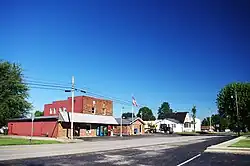 Businesses along KY 61 | |
 Summersville  Summersville | |
| Coordinates: 37°19′34″N 85°32′40″W / 37.32611°N 85.54444°W | |
| Country | United States |
| State | Kentucky |
| County | Green |
| Area | |
• Total | 2.89 sq mi (7.49 km2) |
| • Land | 2.89 sq mi (7.48 km2) |
| • Water | 0.00 sq mi (0.01 km2) |
| Elevation | 804 ft (245 m) |
| Population (2020) | |
• Total | 551 |
| • Density | 190.66/sq mi (73.62/km2) |
| Time zone | UTC-6 (Central (CST)) |
| • Summer (DST) | UTC-5 (CDT) |
| ZIP code | 42782 |
| FIPS code | 21-74604 |
| GNIS feature ID | 504784 |
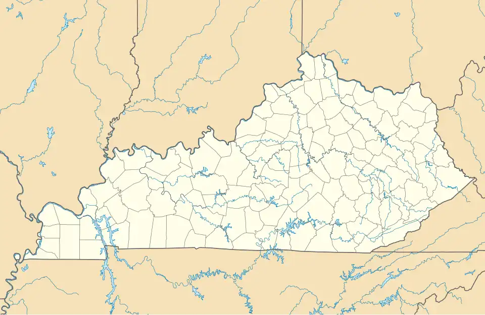
Summersville is a census-designated place (CDP) and unincorporated community in Green County, Kentucky, United States. As of the 2010 census it had a population of 568.[2]
It lies along Routes 61 and 323, 6 miles (10 km) northwest of the city of Greensburg, the county seat of Green County.[3] Its elevation is 804 feet (245 m).[4] It has a post office with the ZIP code 42782.[5] Annually in late July the residents host a festival named "Summersville Days".
Summersville was incorporated in 1817.[6]
Demographics
| Census | Pop. | Note | %± |
|---|---|---|---|
| 2020 | 551 | — | |
| U.S. Decennial Census[7] | |||
References
- ^ "2020 U.S. Gazetteer Files". United States Census Bureau. Retrieved March 18, 2022.
- ^ "Geographic Identifiers: 2010 Demographic Profile Data (G001): Summersville CDP, Kentucky". American Factfinder. U.S. Census Bureau. Retrieved December 13, 2016.
- ^ Rand McNally. The Road Atlas '06. Chicago: Rand McNally, 2006, p. 42.
- ^ U.S. Geological Survey Geographic Names Information System: Summersville, Kentucky, Geographic Names Information System, 1979-09-20. Accessed 2007-12-31.
- ^ USPS – Cities by ZIP Code
- ^ Collins, Lewis (1877). History of Kentucky. p. 294.
- ^ "Census of Population and Housing". Census.gov. Retrieved June 4, 2016.
External links
 Media related to Summersville, Kentucky at Wikimedia Commons
Municipalities and communities of Green County, Kentucky, United States | ||
|---|---|---|
| City |  | |
| CDP | ||
| Other unincorporated communities | ||
| Footnotes | ‡This populated place also has portions in an adjacent county or counties | |