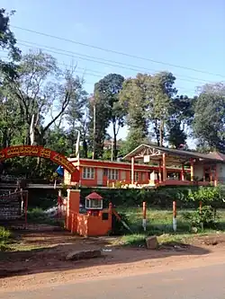
Suntikoppa
Suntikoppa | |
|---|---|
Village | |
 Suntikoppa Location in Karnataka, India | |
| Coordinates: 12°27′10″N 75°49′52″E / 12.45278°N 75.83111°E | |
| Country | |
| State | Karnataka |
| District | Kodagu |
| Taluk | Kushalnagar |
| Government | |
| • Body | Ulugulli Grama Panchayath |
| Area | |
• Total | 14.25 km2 (5.50 sq mi) |
| Elevation | 995 m (3,264 ft) |
| Population (2011) | |
• Total | 7,829[1] |
| Languages | |
| • Official | Kannada |
| Time zone | UTC+5:30 (IST) |
| PIN | 571237 |
| Vehicle registration | KA-12 |
Suntikoppa is a village panchayath in Kushalanagar, a taluk of Kodagu district in Karnataka state, India.
Location
Suntikoppa is a town between Madikeri and Kushalnagar on the Mangalore–Mysore–Bangalore National Highway 275 (India).
References
- ^ "Census Data Handbook 2011" (PDF). Retrieved 31 July 2023.