Sunwich Port
Sunwich Port | |
|---|---|
 Sunwich Port  Sunwich Port | |
| Coordinates: 30°39′54″S 30°30′40″E / 30.665°S 30.511°E | |
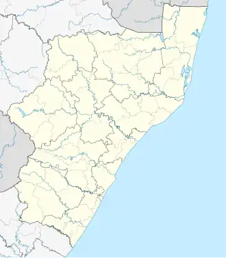
| Country | South Africa |
| Province | KwaZulu-Natal |
| District | Ugu |
| Municipality | Ray Nkonyeni |
| Main Place | Port Shepstone |
| Area | |
• Total | 0.70 km2 (0.27 sq mi) |
| Population (2011)[1] | |
• Total | 820 |
| • Density | 1,200/km2 (3,000/sq mi) |
| Racial makeup (2011) | |
| • Black African | 36.0% |
| • Coloured | 2.1% |
| • Indian/Asian | 2.8% |
| • White | 58.6% |
| • Other | 0.5% |
| First languages (2011) | |
| • English | 4.0% |
| • Zulu | 26.7% |
| • Afrikaans | 24.0% |
| • Xhosa | 6.1% |
| • Other | 1.2% |
| Time zone | UTC+2 (SAST) |
| PO box | 4230 |
| Area code | 039 |
Sunwich Port is a coastal village situated along the South Coast of KwaZulu-Natal, South Africa and north of the Domba River. The quiet and small coastal village forms part of the greater area of Port Shepstone.[2]
Sunwich Port is situated along the R102 regional route, approximately halfway between Port Shepstone (11 km) to the south-west and Hibberdene (13 km) to the north-east. It is neighboured by Melville to the north and Anerley to the south.
References
- ^ a b c d "Sub Place Sunwich Port". Census 2011.
- ^ "Sunwich Port". www.sa-venues.com. Retrieved 2023-08-30.