Supay Q'asa
| Supay Q'asa | |
|---|---|
 Supay Q'asa Location within Bolivia | |
| Highest point | |
| Elevation | 2,920 m (9,580 ft)[1] |
| Coordinates | 19°30′20″S 64°35′17″W / 19.50556°S 64.58806°W |
| Geography | |
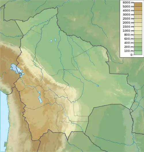
| Location | Bolivia, Chuquisaca Department |
| Parent range | Andes |
Supay Q'asa (Quechua supay devil, demon, q'asa mountain pass,[2] "devil's pass" also spelled Supay Khasa) is a mountain in the Bolivian Andes which reaches a height of approximately 2,920 m (9,580 ft). It is located in the Chuquisaca Department, Tomina Province, Sopachuy Municipality. It lies at the Supay Q'asa River.[1][3]
References
- ^ a b Bolivian IGM map 1:50,000 Hacienda Chunca Cancha 6635-II
- ^ Teofilo Laime Ajacopa (2007). Diccionario Bilingüe: Iskay simipi yuyayk’anch: Quechua – Castellano / Castellano – Quechua (PDF). La Paz, Bolivia: futatraw.ourproject.org.
- ^ "Sopachuy". INE, Bolivia. Retrieved April 22, 2016.
Capital: Sucre | ||
| Provinces | 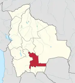 | |
| Municipalities and seats |
| |