Sur Airport
Sur Airport مطار صور | |||||||||||||||
|---|---|---|---|---|---|---|---|---|---|---|---|---|---|---|---|
| Summary | |||||||||||||||
| Airport type | Public | ||||||||||||||
| Serves | Sur, Oman | ||||||||||||||
| Elevation AMSL | 20 ft / 6 m | ||||||||||||||
| Coordinates | 22°32′10″N 59°28′40″E / 22.53611°N 59.47778°E | ||||||||||||||
| Map | |||||||||||||||
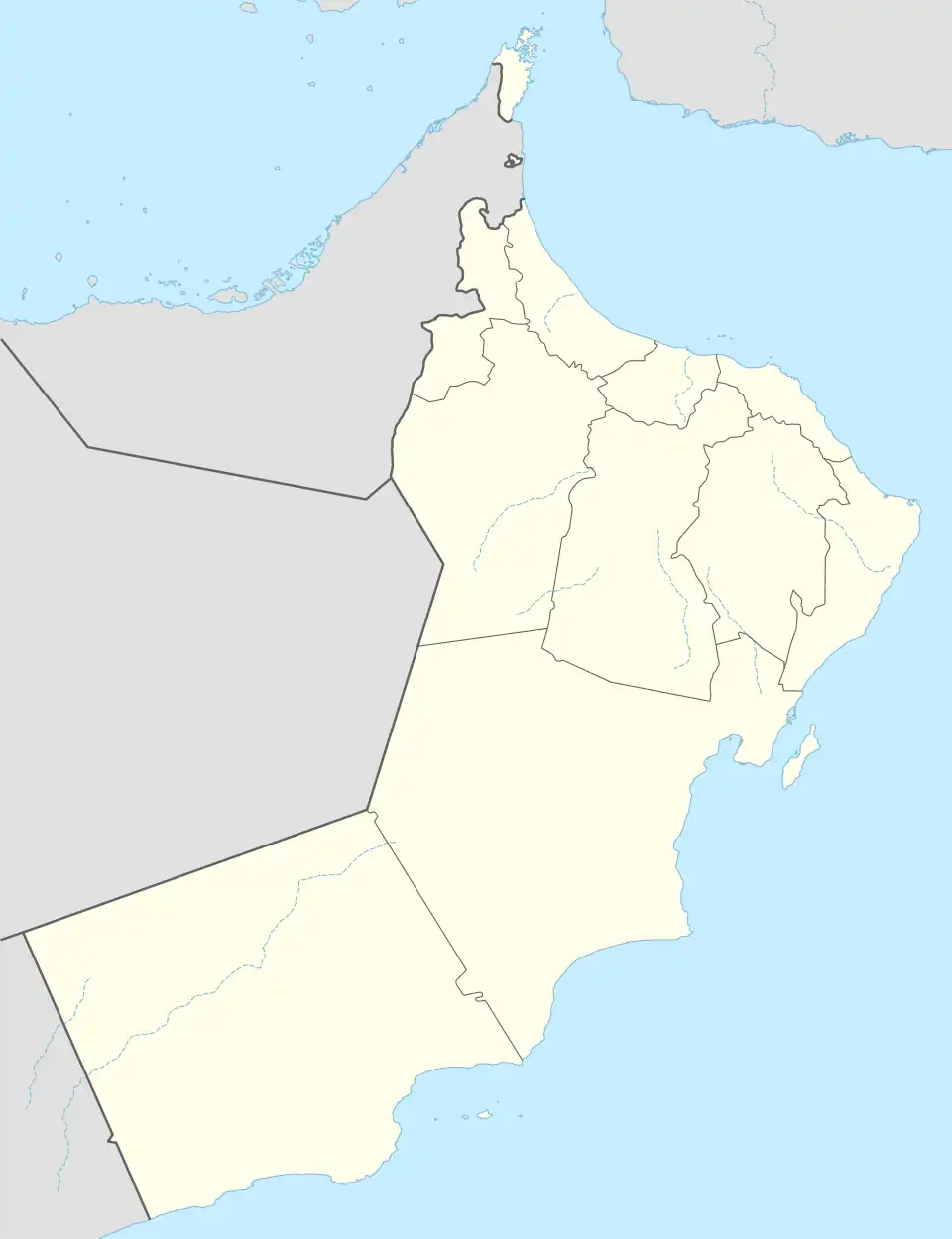 SUH Location of the airport in Oman 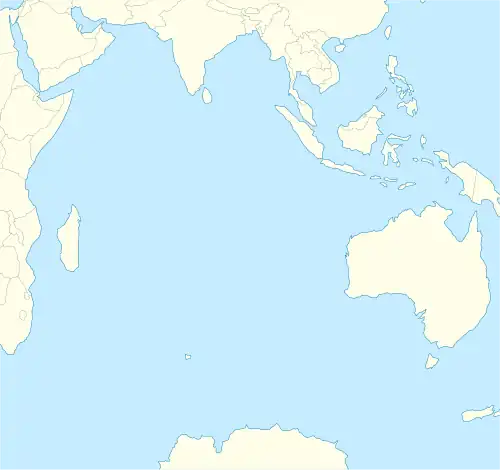 SUH SUH (Indian Ocean) 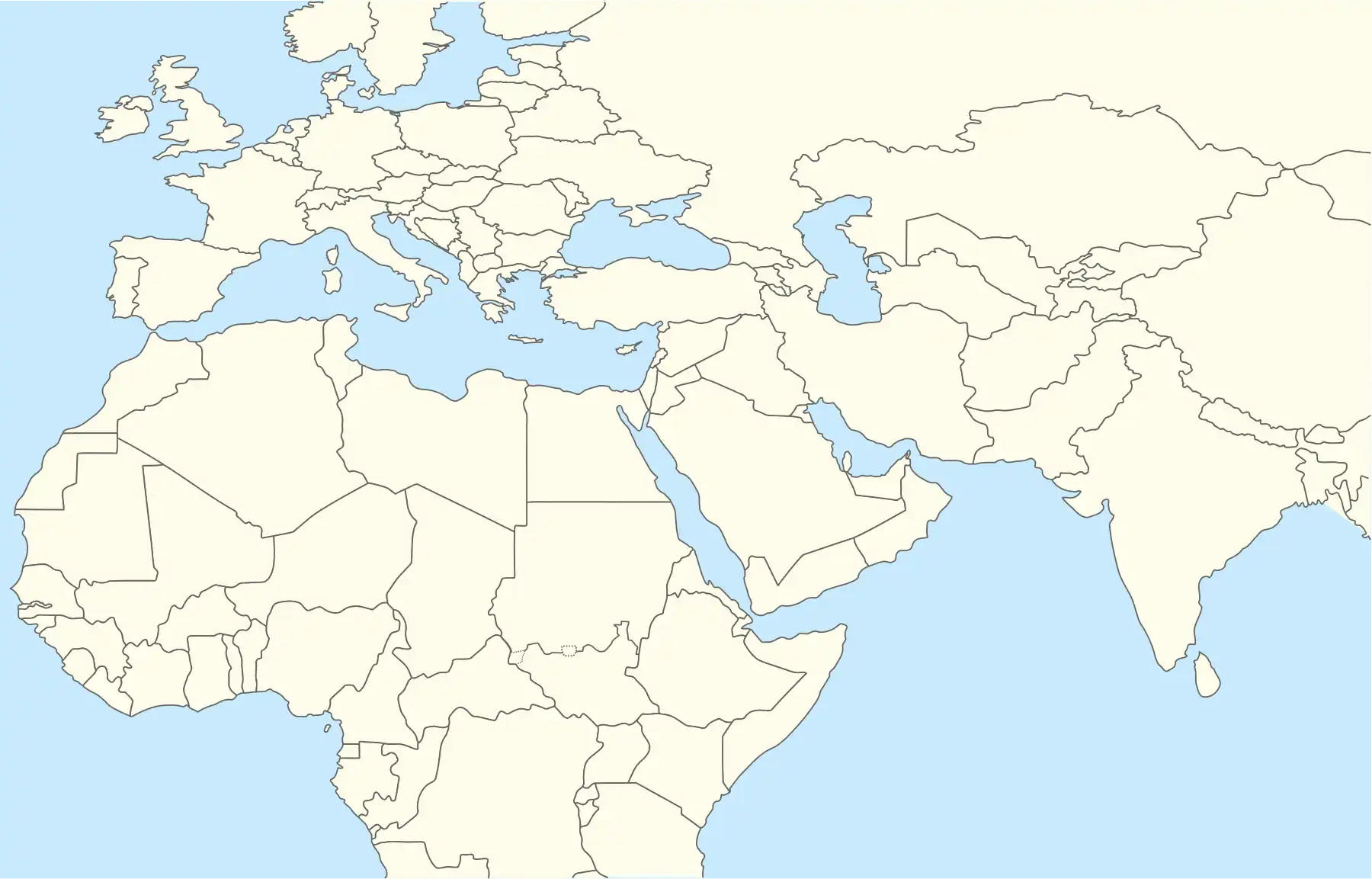 SUH SUH (Middle East)  SUH SUH (West and Central Asia) 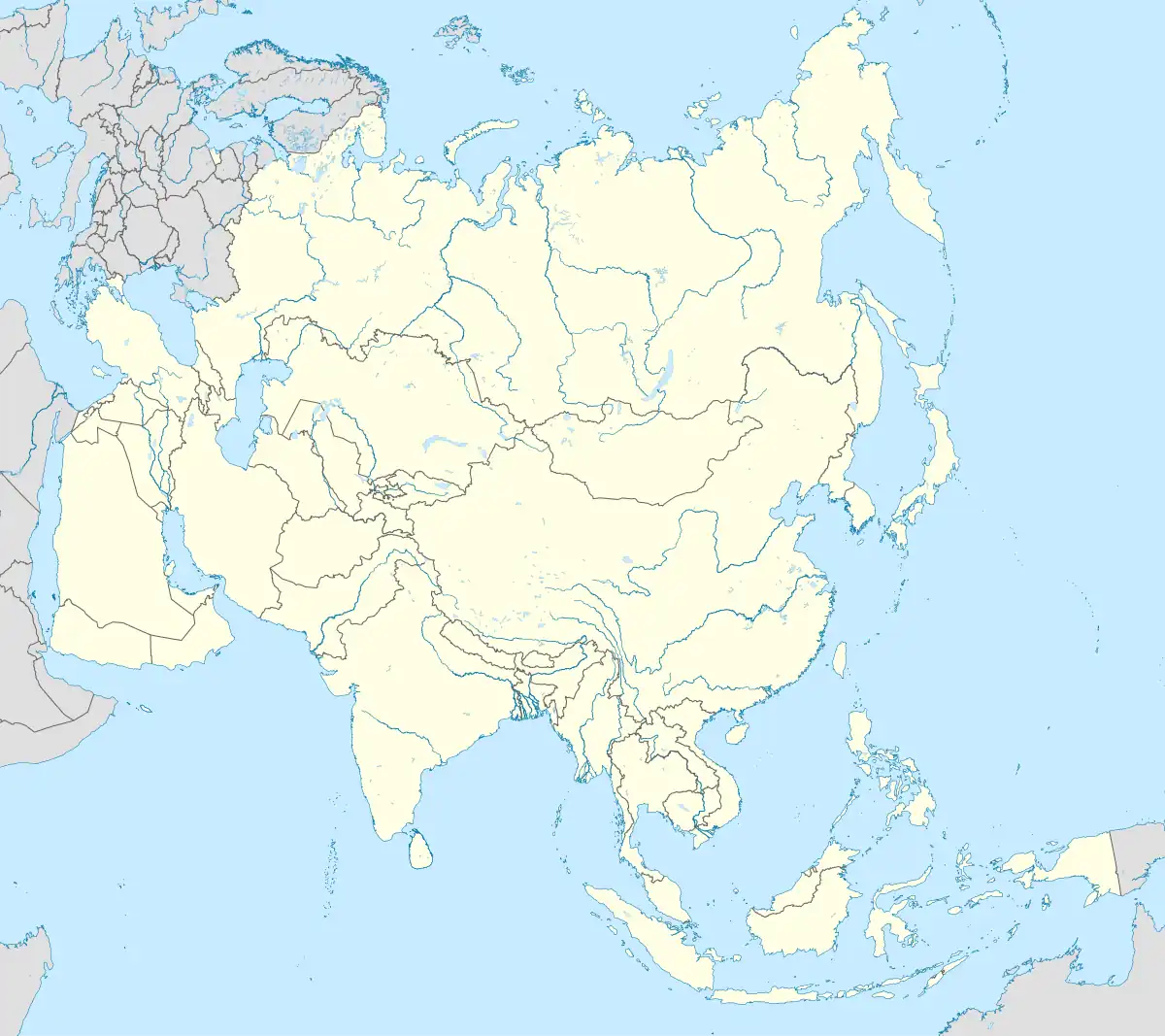 SUH SUH (Asia) | |||||||||||||||
| Runways | |||||||||||||||
| |||||||||||||||
Sur Airport (IATA: SUH, ICAO: OOSR) is an airport serving the Gulf of Oman port of Sur in Oman. The airport is 6 kilometres (4 mi) inland from the ocean and is only rarely used for military aircraft and helicopters.
There is mountainous terrain 6 kilometres (4 mi) south of the airport. The Sur VOR-DME (Ident: SUR) is located 0.8 nautical miles (1.5 km) northeast of the airport.[3]
See also
References
- ^ Google Maps - Sur
- ^ Airport information for Sur Airport at Great Circle Mapper.
- ^ "Sur VOR". Our Airports. Retrieved 6 December 2018.
External links
- OpenStreetMap - Sur
- OurAirports - Sur Airport
- FallingRain - Sur Airport
- Accident history for SUH at Aviation Safety Network