Sutton, Norfolk
| Sutton | |
|---|---|
 Sutton Windmill | |
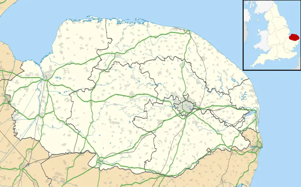 Sutton Location within Norfolk | |
| Area | 6.34 km2 (2.45 sq mi) |
| Population | 1,163 (2011) |
| • Density | 183/km2 (470/sq mi) |
| OS grid reference | TG385235 |
| District | |
| Shire county | |
| Region | |
| Country | England |
| Sovereign state | United Kingdom |
| Post town | NORWICH |
| Postcode district | NR12 |
| Dialling code | 01692 |
| Police | Norfolk |
| Fire | Norfolk |
| Ambulance | East of England |
| UK Parliament | |
Sutton is a village in the English county of Norfolk. It lies next to the Norfolk Broads (Barton Broad to its south-west, and Hickling Broad to its south-east), about 16 miles north-east of Norwich on the A149 road, adjacent to the slightly larger market town of Stalham.
Sutton has a public house and hotel, infant school, garden centre, village hall and a parish church. Nearby is the striking landmark of Sutton Mill, a Grade II* listed building.[1] Tourism and recreational facilities the Museum of the Broads is nearby in Stalham .
References
- ^ Historic England, "Sutton Mill (1049326)", National Heritage List for England, retrieved 4 November 2017
External links
Wikimedia Commons has media related to Sutton, Norfolk.
Wikivoyage has a travel guide for Stalham and Sutton.