Swan Falls, Idaho
Swan Falls, Idaho | |
|---|---|
_VILLAGE%252C_NEW_VILLAGE_HOUSING%252C_AND_DAM_FROM_NORTH_CANYON_RIM%252C_FACING_NORTHWEST._-_Swan_Falls_Village%252C_Snake_River%252C_Kuna%252C_Ada_County%252C_ID_HABS_ID%252C1-KU.V%252C1-4.tif.jpg) View of the former Swan Falls Village and the Swan Falls Dam along the Snake River | |
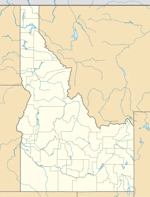 Swan Falls Location in Idaho  Swan Falls Location in the United States | |
| Coordinates: 43°14′30″N 116°22′31″W / 43.24167°N 116.37528°W | |
| Country | United States |
| State | Idaho |
| County | Ada |
| Elevation | 2,359 ft (719 m) |
| Time zone | UTC-7 (Mountain (MST)) |
| • Summer (DST) | UTC-6 (MDT) |
| ZIP Code | 83650 |
| Area codes | 208, 986 |
| GNIS feature ID | 376284[1] |
Swan Falls is an unincorporated community along the Snake River within the Morley Nelson Snake River Birds of Prey National Conservation Area in Ada County, Idaho, United States.[1]
Description
The Swan Falls Dam, the oldest hydroelectric dam on the Snake River, is located next to the community.[2] The Swan Falls Dam and Power Plant is listed on the National Register of Historic Places.[3] The former Swan Falls Village was previously a large part of the community.
See also
References
- ^ a b c U.S. Geological Survey Geographic Names Information System: Swan Falls, Idaho
- ^ "Oreana" (JPEG) (Map). usgs.gov. 1:62500. United States Geological Survey. 1952. Retrieved August 19, 2023.
- ^ "National Register Information System". National Register of Historic Places. National Park Service. March 13, 2009.
Municipalities and communities of Ada County, Idaho, United States | ||
|---|---|---|
| Cities | 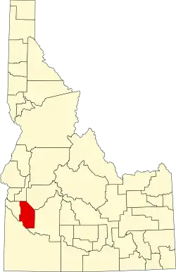 | |
| CDPs | ||
| Unincorporated community | ||
| Footnotes | ‡This populated place also has portions in an adjacent county or counties | |