Swede Heaven, Washington
Swede Heaven, Washington | |
|---|---|
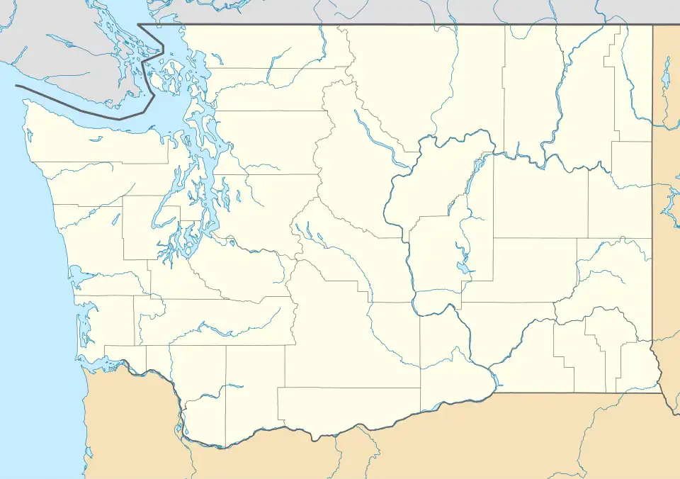 Swede Heaven, Washington Location of Swede Heaven, Washington. | |
| Coordinates: 48°16′50″N 121°42′35″W / 48.28056°N 121.70972°W | |
| Country | United States |
| State | Washington |
| County | Snohomish |
| Area | |
• Total | 7.014 sq mi (18.17 km2) |
| • Land | 7.007 sq mi (18.15 km2) |
| • Water | 0.007 sq mi (0.02 km2) |
| Elevation | 413 ft (126 m) |
| Population (2010) | |
• Total | 768 |
| • Density | 109.6/sq mi (42.3/km2) |
| Time zone | UTC-8 (Pacific (PST)) |
| • Summer (DST) | UTC-7 (PDT) |
| GNIS feature ID | 1526850[1] |
Swede Heaven is a census-designated place (CDP) in Snohomish County, Washington, United States.[2] The population was 768 at the 2010 census.[3]
The community was named for its population of Swedish immigrants and has also been called "Swede Haven" in various sources.[2] It is bisected by State Route 530 and the Whitehorse Trail, a multi-use rail trail.[4]
Geography
According to the United States Census Bureau, the CDP has a total area of 7.014 square miles (18.17 km2), of which 7.007 square miles (18.15 km2) is land and 0.007 square miles (0.02 km2) (0.10%) is water.
References
- ^ a b "US Board on Geographic Names". United States Geological Survey. October 25, 2007. Retrieved January 31, 2008.
- ^ a b Whitely, Peyton (April 30, 2003). "It's not heaven or even the haven it once was". The Seattle Times. Retrieved June 27, 2024.
- ^ "U.S. Census website". United States Census Bureau. Retrieved January 31, 2008.
- ^ Haglund, Noah (February 25, 2010). "Landowners complain of misuse of a rail corridor in Darrington that's closed to the public". The Everett Herald. Retrieved February 3, 2025.
Municipalities and communities of Snohomish County, Washington, United States | ||
|---|---|---|
| Cities | 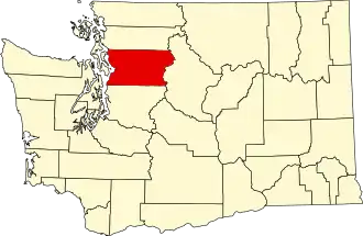 | |
| Towns | ||
| CDPs |
| |
| Other communities | ||
| Indian reservations | ||
| Military bases | ||
| Ghost town |
| |
| Footnotes | ‡This populated place also has portions in an adjacent county or counties | |