Swift Creek (Manitoba)
| Swift Creek | |
|---|---|
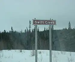 Road sign for Swift Creek | |
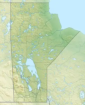 Location of the mouth of Swift Creek in Manitoba | |
| Location | |
| Country | Canada |
| Province | Manitoba |
| Region | Northern |
| Physical characteristics | |
| Source | Unnamed lake |
| • coordinates | 56°38′45″N 94°05′34″W / 56.64583°N 94.09278°W |
| • elevation | 111 m (364 ft) |
| Mouth | Nelson River |
• coordinates | 56°37′44″N 93°51′40″W / 56.62889°N 93.86111°W |
• elevation | 36 m (118 ft) |
| Basin features | |
| River system | Hudson Bay drainage basin |
Swift Creek is a river in the Hudson Bay drainage basin in Northern Manitoba, Canada.[1] It runs from an unnamed lake to the Nelson River, which it enters as a left tributary. The river flows under the Hudson Bay Railway (passed by the Via Rail Winnipeg – Churchill train), between the flag stops of Charlebois to the north and Amery to the south, just past its source; and under Manitoba Provincial Road 290 just before its mouth.
See also
References
- ^ "Swift Creek". Geographical Names Data Base. Natural Resources Canada. Retrieved 2012-07-02.