TNT Creek
| TNT Creek | |
|---|---|
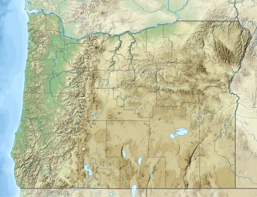 Location of the mouth of TNT Creek in Oregon | |
| Etymology | For TNT bucked off by a pack mule near the creek |
| Location | |
| Country | United States |
| State | Oregon |
| County | Lane |
| Physical characteristics | |
| Source | |
| • location | Willamette National Forest |
| • coordinates | 43°38′16″N 122°15′44″W / 43.63778°N 122.26222°W[1] |
| • elevation | 4,814 ft (1,467 m)[2] |
| Mouth | Hills Creek |
• coordinates | 43°37′48″N 122°16′50″W / 43.63000°N 122.28056°W[1] |
• elevation | 2,556 ft (779 m)[1] |
TNT Creek is a small tributary of Hills Creek in Lane County, in the U.S. state of Oregon.[3] It enters the larger stream about 10.5 miles (16.9 km) above its confluence with the Middle Fork Willamette River at Hills Creek Reservoir.[3]
TNT Creek was named for an incident by a United States Forest Service ranger's mule that threw off a load of trinitrotoluene (TNT) by the creek.[4]
See also
References
- ^ a b c "TNT Creek". Geographic Names Information System. United States Geological Survey (USGS). November 28, 1980. Retrieved November 7, 2015.
- ^ Source elevation derived from Google Earth search using GNIS source coordinates.
- ^ a b "United States Topographic Map". United States Geological Survey. Retrieved November 7, 2015 – via ACME Mapper.
- ^ "Indians, Surveyors, Incidents Gave Names to Streams, Lakes and Mountains". Eugene Register-Guard. January 4, 1942. p. 5. Retrieved April 23, 2015.