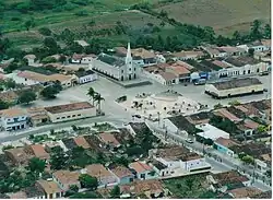
Taipu, Rio Grande do Norte
Taipu | |
|---|---|
 | |
 Flag | |
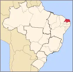
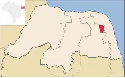 Location in Rio Grande do Norte state | |
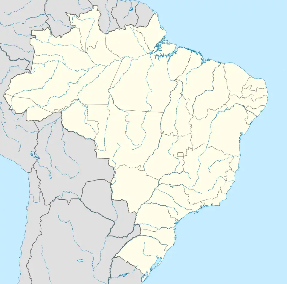 Taipu Location in Brazil | |
| Coordinates: 05°37′19″S 35°35′49″W / 5.62194°S 35.59694°W | |
| Country | Brazil |
| Region | Northeast |
| State | Rio Grande do Norte |
| Area | |
• Total | 353 km2 (136 sq mi) |
| Population (2020 [1]) | |
• Total | 12,297 |
| • Density | 35/km2 (90/sq mi) |
| Time zone | UTC−3 (BRT) |
Taipu is a municipality (município) in the Brazilian state of Rio Grande do Norte. As of 2020, IBGE estimated a population of 12,297 inhabitants. The municipality covers a total area of 353 km2.[2]
References
- ^ IBGE 2020
- ^ "IBGE | Cidades | Rio Grande do Norte | Taipu". cidades.ibge.gov.br. Retrieved 2016-05-12.
Capital: Natal | |||||||||||||||
| Mesoregion Agreste Potiguar |
|  | |||||||||||||
| Mesoregion Central Potiguar |
| ||||||||||||||
| Mesoregion Leste Potiguar |
| ||||||||||||||
| Mesoregion Oeste Potiguar |
| ||||||||||||||