Takutu Formation
| Takutu Formation | |
|---|---|
| Stratigraphic range: Late Jurassic | |
| Type | Geological formation |
| Unit of | Rewa Group |
| Lithology | |
| Primary | Sandstone |
| Location | |
| Coordinates | 3°00′N 59°42′W / 3.0°N 59.7°W |
| Approximate paleocoordinates | 3°12′N 27°24′W / 3.2°N 27.4°W |
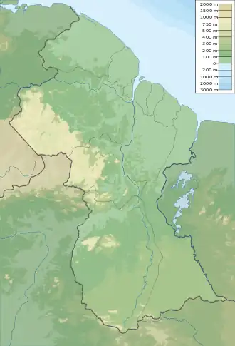
| Region | Upper Takutu-Upper Essequibo |
| Country | Brazil Guyana |
| Extent | Guyana Shield |
| Type section | |
| Named for | Takutu River |
 Takutu Formation (Guyana) | |
The Takutu Formation is a Late Jurassic geologic formation in Guyana and northern Brazil. The formation comprises sandstones deposited in a shallow water to littoral setting.[1] Fossil theropod tracks (a type of dinosaur) have been reported from the formation.[2][3] A paleobotanic analysis of drill cores of the formation was conducted by Thomas van der Hammen in 1966 and showed fossil Classiopolis flora.[1]
See also
References
Bibliography
- Berrangé, J.P (1977), "The geology of Southern Guyana, South America", Institute of Geological Sciences Overseas Memoir, 4: 1–112, retrieved 2018-09-07
- Leonardi, Giuseppe (1994), Annotated Atlas of South America Tetrapod Footprints (Devonian to Holocene) with an appendix on Mexico and Central America, Ministerio de Minas e Energia - Companhia de Pesquisa de Recursos Minerais, Geological Service of Brazil, pp. 1–248, retrieved 2019-03-25
- Weishampel, David B.; Dodson, Peter; Osmólska, Halszka (2004), The Dinosauria, 2nd edition, Berkeley: University of California Press, pp. 1–880, ISBN 0-520-24209-2, retrieved 2019-02-21
{{citation}}: CS1 maint: publisher location (link)
Further reading
- R. B. McConnell, D. M. Smith, and J. P. Berrangé. 1969. Geological and geophysical evidence for a rift valley in the Guiana Shield. Geologie en Mijnbouw 48(2):189-199