Talgar (river)
| Talgar Талғар | |
|---|---|
.jpg) View of one of the small dams in the last stretch of the river | |
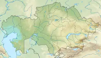 Mouth location in Kazakhstan | |
| Location | |
| Country | Kazakhstan |
| Physical characteristics | |
| Source | Trans-Ili Alatau |
| • coordinates | 43°15′17″N 77°12′54″E / 43.25472°N 77.21500°E |
| • elevation | 1,201 m (3,940 ft) |
| Mouth | Kapchagay Reservoir |
• coordinates | 43°47′15″N 77°14′15″E / 43.78750°N 77.23750°E |
• elevation | 475 m (1,558 ft) |
| Length | 117 km (73 mi) |
| Basin size | 444 km2 (171 sq mi) |
| Discharge | |
| • average | 10.6 cubic metres per second (370 cu ft/s) at Talgar town |
| Basin features | |
| Progression | Kapchagay → Ili → Balkhash |
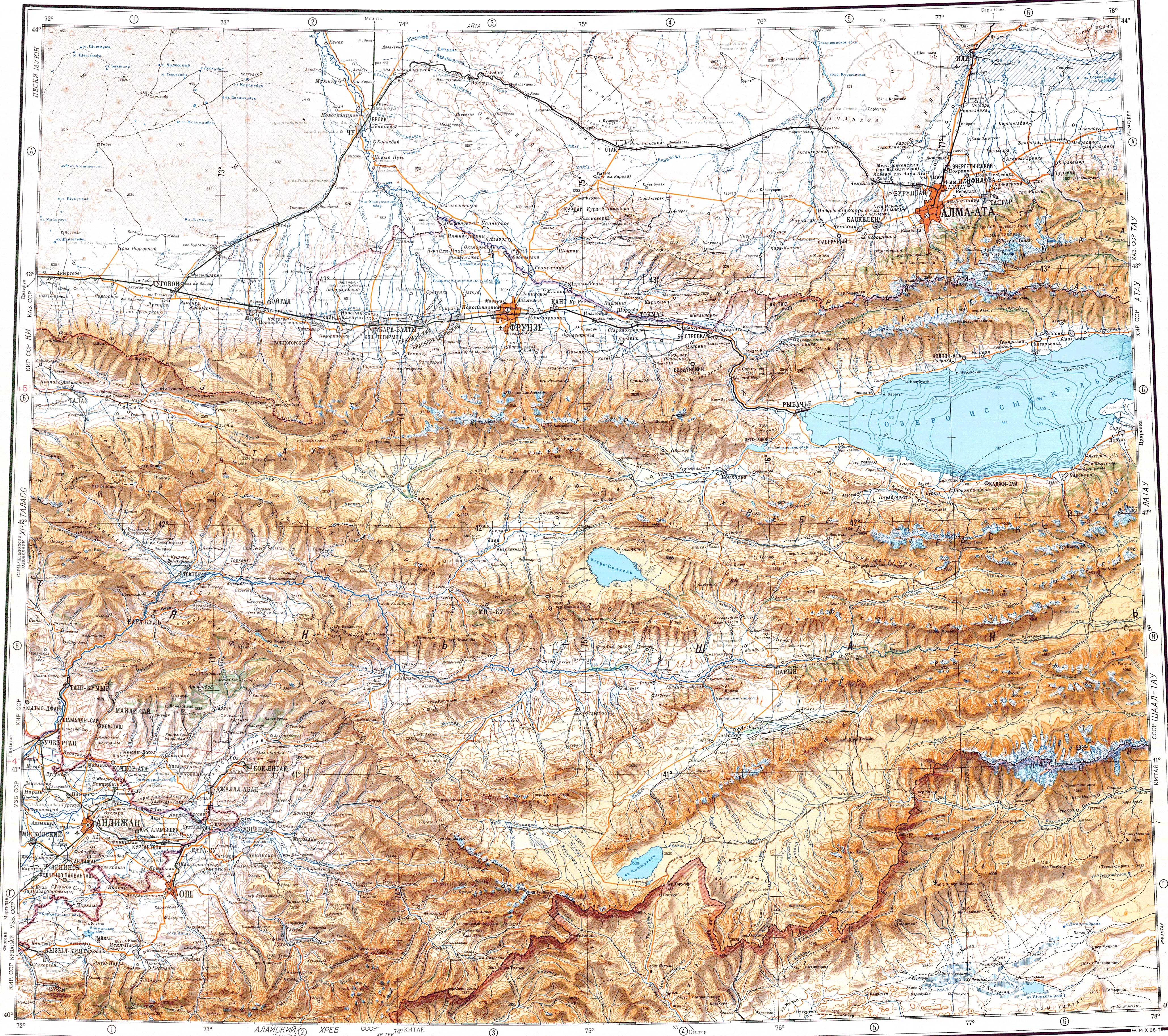
The Talgar (Kazakh: Талғар) is a river in Almaty Region, Kazakhstan.[1][2] It has a length of 117 km (73 mi) and a drainage basin of 444 km2 (171 sq mi).[3]
The Talgar flows by the town of Talgar, the administrative center of Talgar District.[4]
Course
The Talgar river originates at the confluence of rivers Left Talgar and Right Talgar, which have their sources in a glacier area of the Trans-Ili Alatau range, part of the Tian Shan. It flows northwards through a valley with steep slopes. About midway down its course, it descends into a floodplain. Since 1970 the river has had its mouth on the southern lakeshore of the Kapchagay Reservoir.[4][1]
The Talgar is seasonally prone to floods. A string of small dams has been built in its last stretch, along with a network of irrigation channels.[4]
See also
References
- ^ a b "K-43 Topographic Chart (in Russian)". Retrieved 13 February 2023.
- ^ "Talgar Topographic Chart (in Russian)". Archived from the original on 2016-04-01. Retrieved 13 February 2023.
- ^ Google Earth
- ^ a b c ATAMEKEN: Geographical encyclopedia. / General ed. B. O. Jacob. - Almaty: "Kazakh Encyclopedia", 2011. ISBN 9965-893-70-5
)/K43-035%20%20%20%d0%a2%d0%90%d0%9b%d0%93%d0%90%d0%a0%20%2080-84-88.jpg)
)/K43-035%20%20%20%d0%a2%d0%90%d0%9b%d0%93%d0%90%d0%a0%20%2080-84-88.jpg)
External links
 Media related to Talgar (river) at Wikimedia Commons
- The Great Silk Road in Central and Eastern Kazakhstan