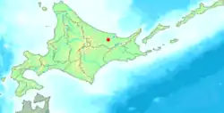
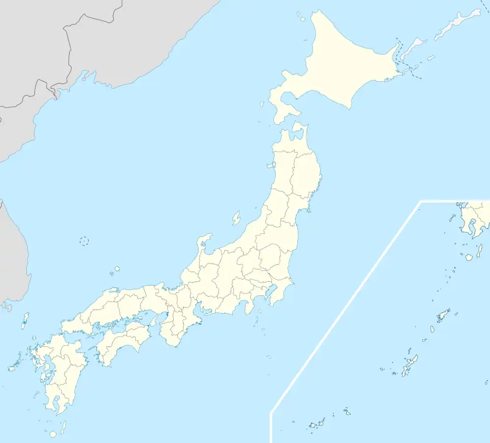
Tanno (端野町, Tanno-chō) was a town located in Tokoro District, Abashiri Subprefecture (now Okhotsk Subprefecture), Hokkaido, Japan.
As of 2005, the town had an estimated population of 5,496 and a density of 33.61 persons per km2. The total area was 163.50 km2. The name comes from the Ainu nufu-un-keshi meaning "edge of the field." The two kanji characters in the name Tanno mean "edge" and "field."[1]
On March 5, 2006, Tanno, along with the towns of Rubeshibe and Tokoro (all from Tokoro District), was merged into the expanded city of Kitami.
External links
References
- ^ [1] Okhotsk Tourism Association. Okhotsk area placenames (Japanese)
Authority control databases |
|---|
| International | |
|---|
| National | |
|---|

.svg.png)
.svg.png)