Taquarussu, Mato Grosso do Sul
Taquarussu | |
|---|---|
 Flag | |
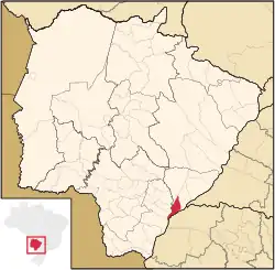 Location in Mato Grosso do Sul state | |
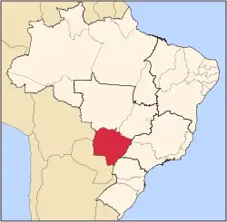
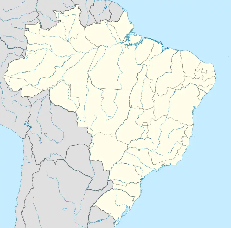 Taquarussu Location in Brazil | |
| Coordinates: 22°29′16″S 53°21′03″W / 22.48778°S 53.35083°W | |
| Country | Brazil |
| Region | Central-West |
| State | Mato Grosso do Sul |
| Area | |
• Total | 1,041 km2 (402 sq mi) |
| Population (2020 [1]) | |
• Total | 3,588 |
| • Density | 3.4/km2 (8.9/sq mi) |
| Time zone | UTC−4 (AMT) |
Taquarussu is a municipality located in the Brazilian state of Mato Grosso do Sul. Its population was 3,588 (2020) and its area is 1,041 km².
The municipality contains 21% of the 73,345 hectares (181,240 acres) Rio Ivinhema State Park, created in 1998.[2]
References
- ^ IBGE 2020
- ^ PES do Rio Ivinhema (in Portuguese), ISA: Instituto Socioambiental, retrieved 2016-11-13
{{citation}}: CS1 maint: publisher location (link)
Capital: Campo Grande | |||||||||
| Mesoregion Centro Norte de Mato Grosso do Sul |
|  | |||||||
| Mesoregion Leste de Mato Grosso do Sul |
| ||||||||
| Mesoregion Pantanal Sul Mato-Grossense |
| ||||||||
| Mesoregion Sudoeste de Mato Grosso do Sul |
| ||||||||