Tardoire
| Tardoire | |
|---|---|
 The Tardoire at Rancogne | |
  | |
| Location | |
| Country | France |
| Physical characteristics | |
| Source | |
| • location | Haute-Vienne |
| Mouth | |
• location | Bonnieure |
• coordinates | 45°51′45″N 0°14′31″E / 45.86250°N 0.24194°E |
| Length | 114 km (71 mi) |
| Basin features | |
| Progression | Bonnieure→ Charente→ Atlantic Ocean |
| Tributaries | |
| • left | Bandiat |
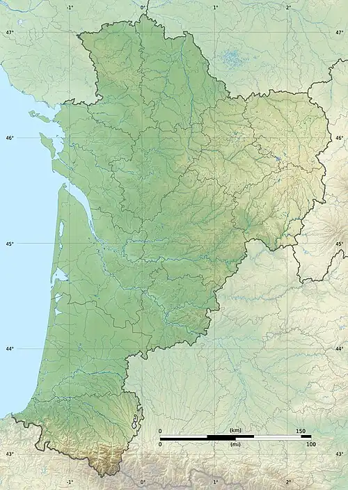
The Tardoire (French pronunciation: [taʁdwaʁ]) is a river in southwestern France, left tributary to the river Bonnieure. It is 114 km (71 mi) long.[1] Its source is in Châlus, in the Haute-Vienne département. It flows into the Bonnieure near Saint-Ciers-sur-Bonnieure. Over much of its length, the Tardoire flows underground. Its largest tributary is the Bandiat.[1]
It flows through the following départements and towns:
- Haute-Vienne: Châlus, Cussac
- Charente: Montbron, La Rochefoucauld, Rivières (a small municipality next to La Rochefoucauld)
References
Wikimedia Commons has media related to Tardoire.