Taukkyan
Htauk Kyant
ထောက်ကြန့် | |
|---|---|
Town | |
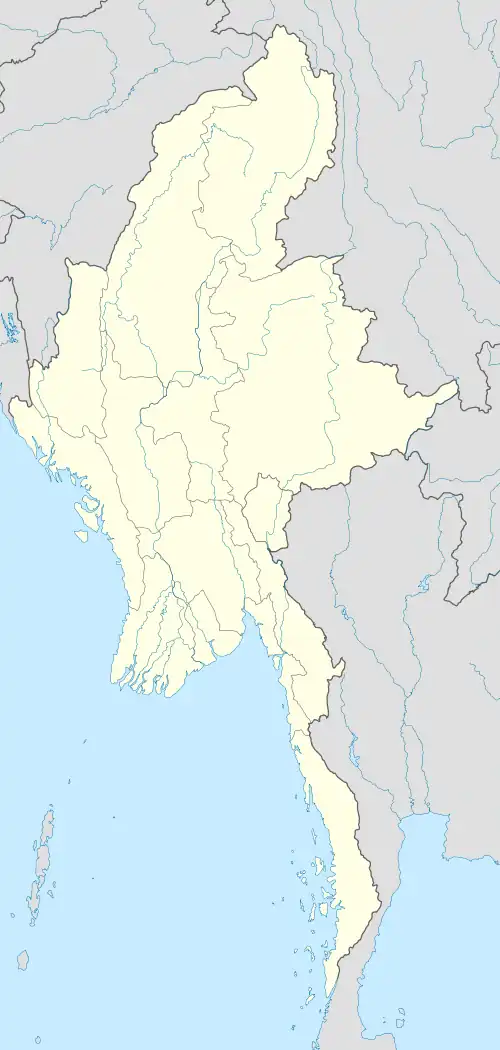 Htauk Kyant Location in Burma | |
| Coordinates: 17°04′N 96°13′E / 17.067°N 96.217°E | |
| Country | |
| Region | Yangon Region |
| District | Northern District of Yangon |
| Township | Mingaladon Township |
| Time zone | UTC+6.30 (MST) |
Htauk Kyant (Burmese: ထောက်ကြန့်; MLCTS: htaukkran. IPA: /tʰauʔt͡ʃa̰N/) is a village in Mingaladon Township, Northern District of Yangon, in the Yangon Region of Myanmar.[1][2]
Htauk Kyant War Cemetery is in the Town located beside Yangon - Pyay road.
References
- ^ Taukkyan War Cemetery
- ^ Microsoft; Nokia. "Htauk Kyant" (Map). Bing Maps. Microsoft. Retrieved 24 Oct 2024.