Tawiriwiri Island
 Tawiriwiri Island (in distance, left of centre) with Mahenotiti Island in the foreground (right) | |
 Tawiriwiri Island | |
| Geography | |
|---|---|
| Location | Bay of Islands |
| Coordinates | 35°13′45.7″S 174°15′18.7″E / 35.229361°S 174.255194°E |
| Length | 158 m (518 ft) |
| Width | 121 m (397 ft) |
| Administration | |
New Zealand | |
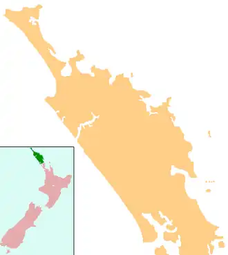
Tawiriwiri Island is a small island in the Bay of Islands of New Zealand, located about 12 kilometres (7.5 mi) northeast of Russell. It is situated about 50 metres (160 ft) off a small peninsula known as Te Tawa Hill. Tawiriwiri has Kaimarama Bay to the north and Kaingahoa bay to the south. The nearest islands is Mahenotiti Island.[1][2]
Etymology
In Māori, 'tāwiriwiri' means either to 'tremble greatly' or a 'tail' (like that of a fish).[3]
References
- ^ "Tawiriwiri Island, Northland – NZ Topo Map". NZ Topo Map. Land Information New Zealand. Retrieved 6 November 2024.
- ^ "Map showing location of Tawiriwiri Island". Backpack New Zealand.
- ^ "tāwiriwiri". Te Aka Maori Dictionary.