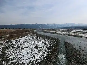
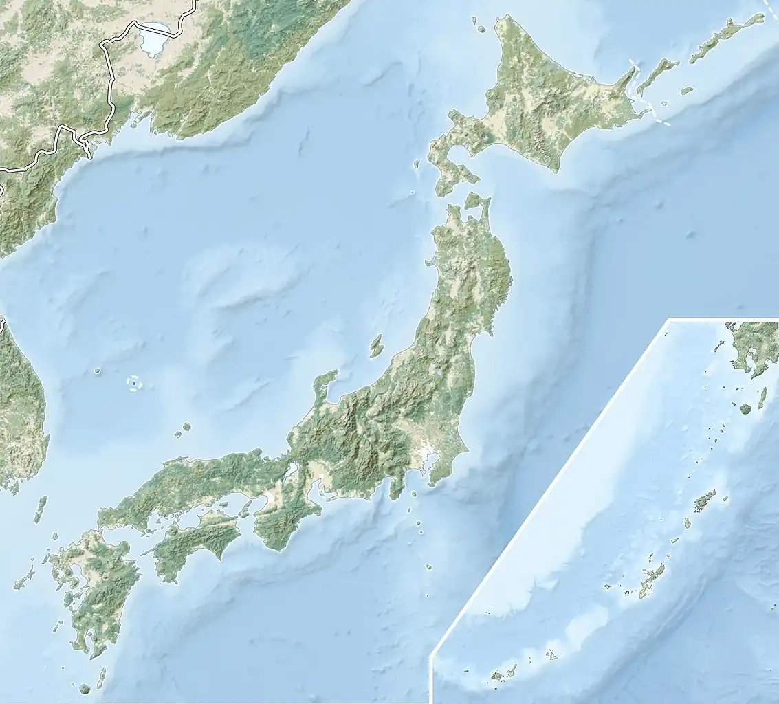
The Tedori River (手取川, Tedorigawa) is a river in southern Ishikawa Prefecture in the Hokuriku region of Japan.[1] The river originates on Hakusan, the highest peak in the Hakusan National Park on the border between Ishikawa and Gifu Prefecture, and flows in a generally northern direction to the Sea of Japan. The river is used extensively for irrigation, and for the generation of hydroelectric power.[2] The Battle of Tedorigawa was fought on the banks of the river in 1577
Dams and hydroelectric power generation
| River |
Name |
Height (m) |
Volume (m3) |
Type |
Generation (KW)
|
| Tedori |
Tedorigawa Dam |
153.0 |
231,000 |
Rockfill |
250,000
|
| Tedori |
Tedorigawa No.2 Dam |
37.5 |
64,000 |
Concrete Gravity |
87,000
|
| Ozo |
Oguchi Dam |
28.4 |
16,000 |
Concrete Gravity |
17,600
|
| Ozo |
Yoshinodani Dam |
20.45 |
14,500 |
Concrete Gravity |
13,300
|
| Ozo |
Chugu Dam |
16.64 |
2,740 |
Concrete Gravity |
3,000
|
| Dainichi |
Dainichigawa Dam |
59.9 |
309,000 |
Concrete Gravity |
9,000
|
| Tedori |
Tedorigawa No.3 Dam |
50.0 |
4,247 |
Concrete Gravity |
30,000
|
References
- ^ "手取川の概要".
- ^ Campbell, Allen; Nobel, David S (1993). Japan: An Illustrated Encyclopedia. Kodansha. p. 1540. ISBN 406205938X.
Authority control databases |
|---|
| International | |
|---|
| National | |
|---|
| Other | |
|---|