Telšiai County
Telšiai County
Telšių apskritis | |
|---|---|
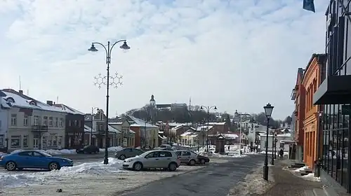
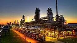
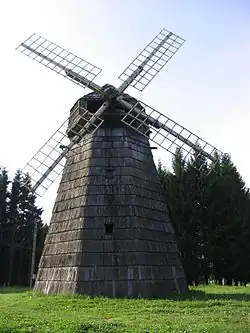
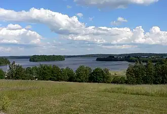
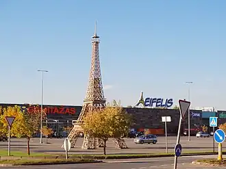
From the top to bottom-right: Telšiai old town , Orlen Lietuva oil refinery near Mažeikiai, Windmill, Žemaitija National Park, shopping mall Eifelis in Mažeikiai | |
 Flag  Coat of arms | |
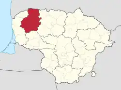 Location of Telšiai County | |
| Country | |
| Administrative centre | Telšiai |
| Municipalities | |
| Area | |
• Total | 4,349 km2 (1,679 sq mi) |
| (6.7% of the area of Lithuania) | |
| Population (2020-01-01) | |
• Total | 130,613 |
| • Rank | 8th of 10 (5.1% of the population of Lithuania) |
| • Density | 30/km2 (78/sq mi) |
| GDP | |
| • Total | €2.3 billion (2023) · 6th |
| Time zone | UTC+2 (EET) |
| • Summer (DST) | UTC+3 (EEST) |
| ISO 3166 code | LT-TE |
| HDI (2022) | 0.850[2] very high · 5th |
Telšiai County (Lithuanian: Telšių apskritis) is one of ten counties in Lithuania. It is in the west of the country, and its capital is Telšiai. There are Lithuanians (98.7%), Latvians (0.1%), Russians (0.9%), and others (0.3%). On 1 July 2010, the county administration was abolished,[3] and since that date, Telšiai County remains as a territorial and statistical unit. It borders Latvia.
Municipalities
Municipalities are:
| Mažeikiai District Municipality | |
| Plungė District Municipality | |
| Rietavas Municipality | |
| Telšiai District Municipality |
References
- ^ "BENDRASIS VIDAUS PRODUKTAS PAGAL APSKRITIS 2023 M." osp.stat.gov.lt.
- ^ "Sub-national HDI - Area Database - Global Data Lab". hdi.globaldatalab.org. Retrieved 2018-09-13.
- ^ "Dėl apskričių viršininkų administracijų likvidavimo". Seimas of the Republic of Lithuania. Retrieved 21 August 2011.
External links
- Social and demographic characteristics of Telšiai County
- Economy of Telšiai County
- Environment of Telšiai County
| Municipalities | | |
|---|---|---|
| Cities | ||
| Towns | ||
| Villages | ||
55°59′18″N 22°14′35″E / 55.98833°N 22.24306°E