Teleorman (river)
| Teleorman | |
|---|---|
 | |
| Location | |
| Country | Romania |
| Counties | Argeș, Teleorman |
| Towns | Costești |
| Physical characteristics | |
| Mouth | Vedea |
• location | Ștorobăneasa |
• coordinates | 43°51′26″N 25°26′42″E / 43.8571°N 25.4449°E |
| Length | 169 km (105 mi) |
| Basin size | 1,427 km2 (551 sq mi) |
| Basin features | |
| Progression | Vedea→ Danube→ Black Sea |
| Tributaries | |
| • left | Clănița |
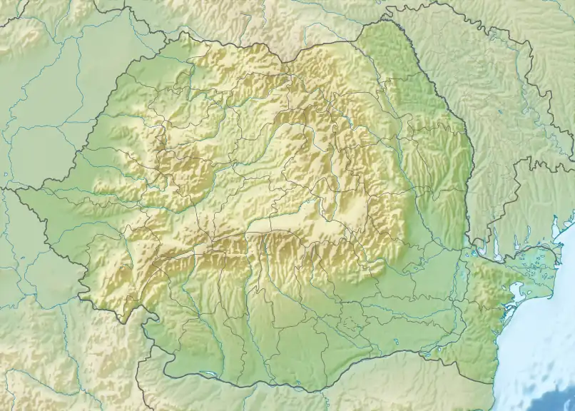
The Teleorman is a left tributary of the river Vedea in Romania.[1][2] It discharges into the Vedea near Smârdioasa.[3] The following towns and villages are situated along the river Teleorman, from source to mouth: Gura Văii, Albota, Podu Broșteni, Broșteni, Costești, Șerboeni, Ionești, Vlăduța, Podeni, Cornățel, Recea, Izvoru, Palanga, Popești, Tătărăștii de Sus, Tătărăștii de Jos, Slăvești, Trivalea-Moșteni, Olteni, Orbeasca, Lăceni, Măgura, Vitănești, Purani, Teleormanu, Mârzănești, Cernetu and Ștorobăneasa. Its length is 169 km (105 mi) and its basin size is 1,427 km2 (551 sq mi).[2]
Tributaries
The following rivers are tributaries of the Teleorman (from source to mouth):[2]
- Left: Mareș, Albota, Băidana, Negraș, Pârâul Dobrei, Clănița, Vâjiștea
- Right: Valea Copacilor, Bucov, Teleormănel
References
- ^ "Planul național de management. Sinteza planurilor de management la nivel de bazine/spații hidrografice, anexa 7.1" (PDF, 5.1 MB). Administrația Națională Apele Române. 2010. pp. 806–807.
- ^ a b c Atlasul cadastrului apelor din România. Partea 1 (in Romanian). Bucharest: Ministerul Mediului. 1992. pp. 319–320. OCLC 895459847. River code: IX.1.15
- ^ Teleorman (jud. Teleorman), e-calauza.ro