Temax
Temax | |
|---|---|
Municipal Seat | |
.jpg) Main church of Temax. | |
 Temax | |
| Coordinates: 21°09′04″N 88°56′25″W / 21.15111°N 88.94028°W | |
| Country | |
| State | Yucatán |
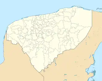
| Municipality | Temax |
| Government | |
| • Mayor | Angel Antonio Gonzalez Escalante |
| Elevation | 7 m (23 ft) |
| Population (2010) | |
• Total | 6,239[1] |
| Time zone | UTC-6 (Central Standard Time) |
| • Summer (DST) | UTC-5 (Central Daylight Time) |
| Postal code (of seat) | 92479 |
| Area code | 991 |
| INEGI code | 310840001 |
| Demonym | Temaxeño |
Temax is a town and the municipal seat of the Temax Municipality, Yucatán in Mexico. As of 2010, the town has a population of 6,239.[1]
Demographics
| Year | 1900 | 1910 | 1921 | 1930 | 1940 | 1950 | 1960 | 1970 | 1980 | 1990 | 1995 | 2000 | 2005 |
|---|---|---|---|---|---|---|---|---|---|---|---|---|---|
| Population | 1800 | 1881 | 2690 | 2902 | 3312 | 3804 | 4752 | 4915 | 4606 | 6000 | 6033 | 5765 | 6130 |
References
- ^ a b "Population and Housing Census 2010". INEGI.org. National Institute of Statistics and Geography. 2010. Retrieved 5 July 2018.
- ^ "Demographics". INEGI.org. Retrieved 22 July 2018.
Mérida (capital) | |||||||||||||||
| Topics | 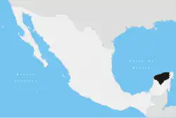 | ||||||||||||||
| Metros | |||||||||||||||
| Larger cities | |||||||||||||||
| Smaller cities |
| ||||||||||||||
| Municipalities |
| ||||||||||||||