Tentergate
Tentergate | |
|---|---|
 Tentergate  Tentergate | |
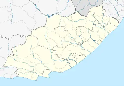
| Coordinates: 32°05′24″S 26°27′40″E / 32.090°S 26.461°E | |
| Country | South Africa |
| Province | Eastern Cape |
| District | Chris Hani |
| Municipality | Enoch Mgijima |
| Area | |
• Total | 6.08 km2 (2.35 sq mi) |
| Population (2011)[1] | |
• Total | 5,187 |
| • Density | 850/km2 (2,200/sq mi) |
| Racial makeup (2011) | |
| • Black African | 99.3% |
| • Coloured | 0.2% |
| • Indian/Asian | 0.1% |
| • Other | 0.4% |
| First languages (2011) | |
| • Xhosa | 94.5% |
| • English | 1.2% |
| • Other | 4.3% |
| Time zone | UTC+2 (SAST) |
Tentergate is a town in Chris Hani District Municipality in the Eastern Cape province of South Africa.
Tentergate was established in 1976, as a relocation camp for the people who fled Herschel ahead of its incorporation into an independent Transkei.[2]
References
- ^ a b c d "Main Place Tentergate". Census 2011.
- ^ "Headman Thembilizwe Dywasha Assassination Site". Liberation Heritage Route South Africa. Archived from the original on 29 August 2014. Retrieved 29 August 2014.
Municipalities and communities of Chris Hani District Municipality, Eastern Cape | ||
|---|---|---|
District seat: Queenstown (Komani) | ||
| Intsika Yethu | .svg.png) | |
| Enoch Mgijima | ||
| Engcobo |
| |
| Emalahleni |
| |
| Inxuba Yethemba | ||
| Sakhisizwe | ||