Téteghem
Téteghem | |
|---|---|
Part of Téteghem-Coudekerque-Village | |
 Téteghem in the arrondissement of Dunkirk | |
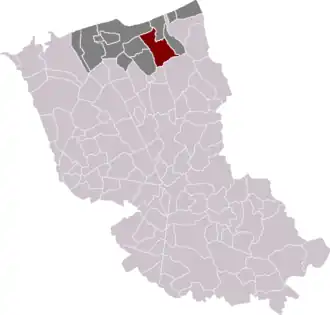
Location of Téteghem | |
 Téteghem  Téteghem | |
| Coordinates: 51°01′08″N 2°26′38″E / 51.019°N 2.444°E | |
| Country | France |
| Region | Hauts-de-France |
| Department | Nord |
| Arrondissement | Dunkerque |
| Canton | Coudekerque-Branche |
| Commune | Téteghem-Coudekerque-Village |
Area 1 | 18.41 km2 (7.11 sq mi) |
| Population (2022)[1] | 6,894 |
| • Density | 370/km2 (970/sq mi) |
| Demonym | Téteghemois |
| Time zone | UTC+01:00 (CET) |
| • Summer (DST) | UTC+02:00 (CEST) |
| Postal code | 59229 |
| Elevation | 0–10 m (0–33 ft) (avg. 2 m or 6.6 ft) |
| 1 French Land Register data, which excludes lakes, ponds, glaciers > 1 km2 (0.386 sq mi or 247 acres) and river estuaries. | |
Téteghem (French pronunciation: [tetɡɛm]; Dutch and West Flemish: Tetegem) is a former commune in the Nord department, northern France.[2] On 1 January 2016, it was merged into the new commune Téteghem-Coudekerque-Village.[3]
In the Second World War, Téteghem formed part of the perimeter defences during the Battle of Dunkirk in 1940.
Heraldry
.svg.png) |
The arms of Téteghem are blazoned : Checky argent and azure, a bend gules.
|
See also
References
- ^ "Populations de référence 2022" [Reference populations 2022] (PDF) (in French). INSEE. December 2024.
- ^ Des villages de Cassini aux communes d'aujourd'hui: Commune data sheet Téteghem, EHESS (in French).
- ^ Arrêté préfectoral 30 November 2015 (in French)
Wikimedia Commons has media related to Téteghem.