Thanes Creek, Queensland
| Thanes Creek Queensland | |||||||||||||||
|---|---|---|---|---|---|---|---|---|---|---|---|---|---|---|---|
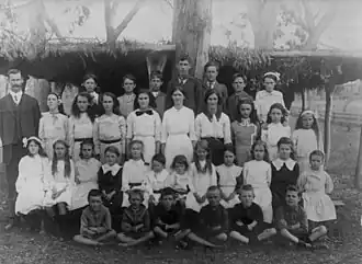 Thane's Creek State School pupils and teacher | |||||||||||||||
 Thanes Creek | |||||||||||||||
| Coordinates | 28°07′06″S 151°40′45″E / 28.1183°S 151.6791°E | ||||||||||||||
| Population | 61 (2021 census)[1] | ||||||||||||||
| • Density | 0.738/km2 (1.913/sq mi) | ||||||||||||||
| Postcode(s) | 4370 | ||||||||||||||
| Area | 82.6 km2 (31.9 sq mi) | ||||||||||||||
| Time zone | AEST (UTC+10:00) | ||||||||||||||
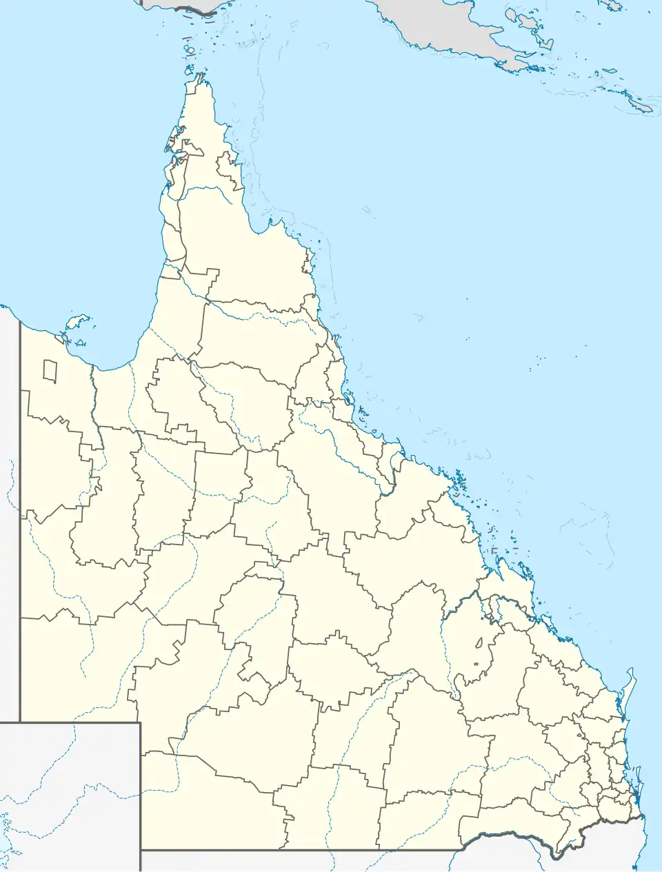
| Location | |||||||||||||||
| LGA(s) | Southern Downs Region | ||||||||||||||
| State electorate(s) | Southern Downs | ||||||||||||||
| Federal division(s) | Maranoa | ||||||||||||||
| |||||||||||||||
Thanes Creek is a rural locality in the Southern Downs Region, Queensland, Australia.[2] In the 2021 census, Thanes Creek had a population of 61 people.[1]
Geography
The locality is just north of the Cunningham Highway about 40 kilometres (25 miles) west of Warwick.[3]
History
The locality was named after the creek, which was in turn named after John Thane, a pioneer pastoralist of the Ellangowan Run, who drowned in the Condamine River in 1844.[2][4][5][6]
Thane's Creek Provisional School opened on 10 October 1892, becoming Thane's Creek State School on 22 January 1900. It closed in 1965.[7] It was on a 5-acre (2.0 ha) site at 15 Bush Cottage Lane (28°06′28″S 151°40′45″E / 28.10790°S 151.67915°E).[8][9][10]
Thanes Creek Presbyterian Church opened on Sunday 20 October 1901.[11] The church closed and the building was removed in 1997. It was on the western side of Bush Lane (28°06′28″S 151°40′37″E / 28.1079°S 151.6770°E).[12]
Demographics
In the 2016 census, Thanes Creek had a population of 30 people.[13]
In the 2021 census, Thanes Creek had a population of 61 people.[1]
Education
There are no schools in Thanes Creek. The nearest government primary schools are Leyburn State School in neighbouring Leyburn to the north-west, Karara State School in neighbouring Karara to the south-west, and Wheatvale State School in Wheatvale to the east. The nearest government secondary schools are Warwick State High School (to Year 12) in Warwick to the south-east, Allora State School (to Year 10) in Allora to the east, and Clifton State High School in Clifton to the north-east.[14]
Attractions
Thanes Creek is a former gold mining area, and the site of a government approved gold fossicking area.[15]
References
- ^ a b c Australian Bureau of Statistics (28 June 2022). "Thanes Creek (SAL)". 2021 Census QuickStats. Retrieved 28 February 2023.
- ^ a b "Thanes Creek – locality in Southern Downs Region (entry 45987)". Queensland Place Names. Queensland Government. Retrieved 29 December 2020.
- ^ "Thanes Creek, Queensland" (Map). Google Maps. Retrieved 28 July 2019.
- ^ "Thanes Creek – watercourse in the Toowoomba Region (entry 33807)". Queensland Place Names. Queensland Government. Retrieved 27 January 2021.
- ^ "News from the interior". The Sydney Morning Herald. Vol. XVII, no. 2121. New South Wales, Australia. 2 March 1844. p. 3. Retrieved 27 January 2021 – via National Library of Australia.
- ^ "The Last of a Pioneer". The Queenslander. Vol. IX, no. 41. Queensland, Australia. 14 November 1874. p. 9. Retrieved 27 January 2021 – via National Library of Australia.
- ^ Queensland Family History Society (2010), Queensland schools past and present (Version 1.01 ed.), Queensland Family History Society, ISBN 978-1-921171-26-0
- ^ "Pratten" (Map). Queensland Government. 1944. Archived from the original on 5 October 2024. Retrieved 23 December 2024.
- ^ "Parish of Hanmer" (Map). Queensland Government. 1939. Archived from the original on 22 December 2024. Retrieved 23 December 2024.
- ^ "Layers: Locality; Road and rail; Land parcel; Watercourse". Queensland Globe. Queensland Government. Archived from the original on 19 December 2017. Retrieved 22 December 2024.
- ^ "NEW PRESBYTERIAN CHURCH AT THANE'S CREEK". Warwick Examiner And Times. Vol. 35, no. 4580. Queensland, Australia. 23 October 1901. p. 3. Retrieved 13 September 2021 – via National Library of Australia.
- ^ "Thanes Creek Prebyterian [sic] Church | Thanes Creek". Queensland Religious Places Database. Retrieved 10 July 2025.
- ^ Australian Bureau of Statistics (27 June 2017). "Thanes Creek (SSC)". 2016 Census QuickStats. Retrieved 20 October 2018.
- ^ "Layers: Locality; Schools and school catchments". Queensland Globe. Queensland Government. Archived from the original on 19 December 2017. Retrieved 22 December 2024.
- ^ "Thanes Creek fossicking area". Queensland Government. 6 March 2017. Archived from the original on 28 July 2019. Retrieved 28 July 2019.
Further reading
- A history of Wheatvale and district : produced to commemorate 100 years of State School Education in Queensland, 1875-1975. 1975. — via State Library of Queensland, includes the districts of Allan, Bony Mountain, Greymare, Pratten, Rodger's Creek, Thane, Thane's Creek and Wheatvale.