Thattathumala
Thattathumala | |
|---|---|
Town | |
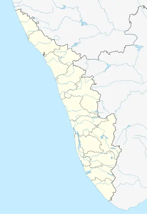 Thattathumala Location in Kerala, India  Thattathumala Thattathumala (India) | |
| Coordinates: 8°46′01″N 76°52′48″E / 8.767°N 76.88°E | |
| Country | |
| State | Kerala |
| District | Thiruvananthapuram |
| Government | |
| • Type | Government of Kerala |
| • Body | Grama Panchayat |
| Area | |
• Total | 6 km2 (2 sq mi) |
| Population (2001) | |
• Total | 39,055 |
| • Density | 961/km2 (2,490/sq mi) |
| Languages | |
| • Official | Malayalam, English |
| Time zone | UTC+5:30 (IST) |
| PIN | 695614 |
| Telephone code | 0470 |
| Vehicle registration | KL 16, KL-01 |
| Sex ratio | 1074 ♂/♀ |
| The details are for pazhayakunnumme Panchayat | |
Thattathumala is a town in Trivandrum district of, Kerala, India. It is situated 3 km from Kilimanoor city center on the MC/SH 1 Road.
- Nearest Railway Station — Chirayankizh
- Nearest Airport - Trivandrum International Airport
References
External links
District HQ: Thiruvananthapuram | |||||||
| History | 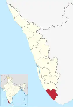 | ||||||
| Geography | |||||||
| Cities and Taluks |
| ||||||
| Transport | |||||||
| Education |
| ||||||
| Buildings | |||||||
| Culture | |||||||
| Lok Sabha constituencies | |||||||
| Sports | |||||||
| Museums | |||||||