Thbeng Meanchey Airport
Thbeng Meanchey Airport | |||||||||||
|---|---|---|---|---|---|---|---|---|---|---|---|
| Summary | |||||||||||
| Airport type | Public | ||||||||||
| Serves | Thbeng Meanchey | ||||||||||
| Location | |||||||||||
| Elevation AMSL | 33 ft / 10 m | ||||||||||
| Coordinates | 13°45′38.0″N 104°58′19.8″E / 13.760556°N 104.972167°E | ||||||||||
| Map | |||||||||||
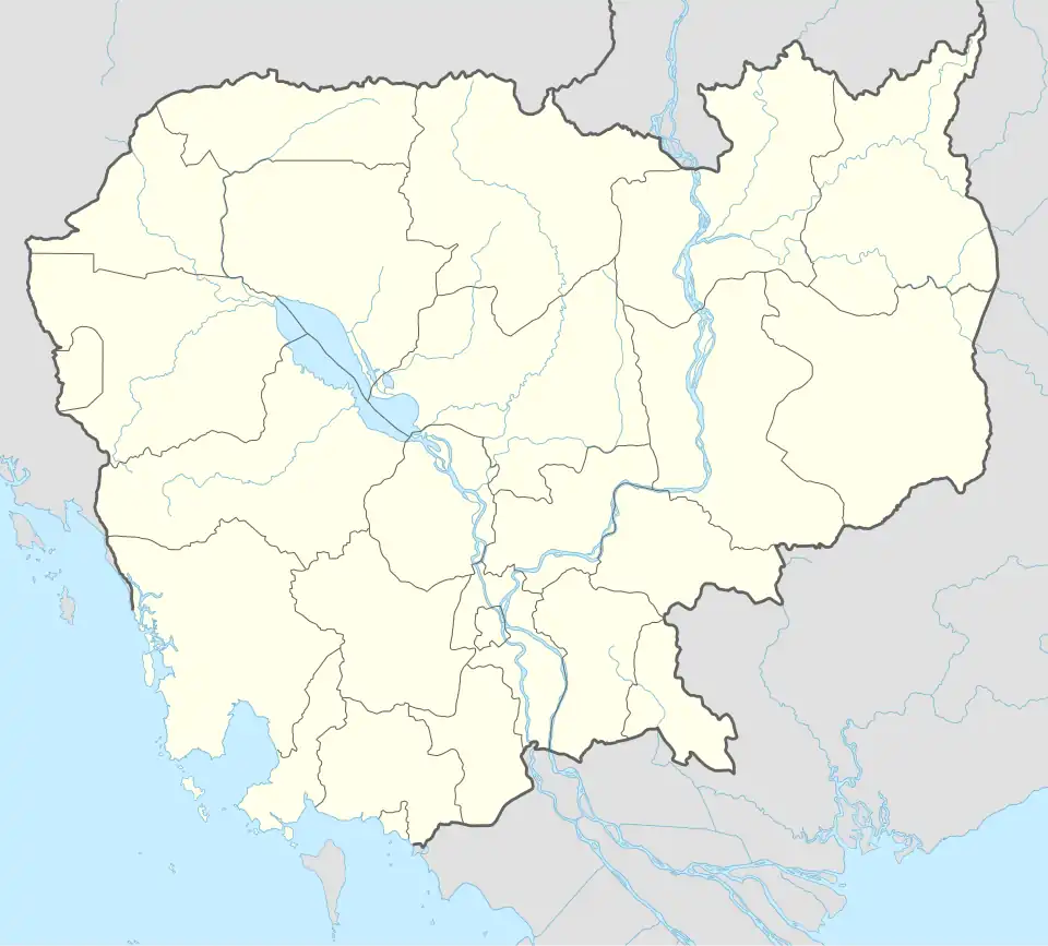 OMY Location of Thbeng Meanchey Airport in Cambodia | |||||||||||
| Runways | |||||||||||
| |||||||||||
Thbeng Meanchey Airport or Preah Vinhear Airport (IATA: OMY) is a public use airport located near Thbeng Meanchey, Siĕm Reăb, Cambodia.
See also
References
- ^ Airport record for Thbeng Meanchey Airport at Landings.com. Retrieved 2013-08-25
- ^ "location of Thbeng Meanchey Airport" (Map). Google Maps. Retrieved 2013-08-25.
External links
- Airport record for Thbeng Meanchey Airport at Landings.com