Wrockwardine Wood and Trench
| Wrockwardine Wood and Trench | |
|---|---|
 Holy Trinity Church, Wrockwardine Wood | |
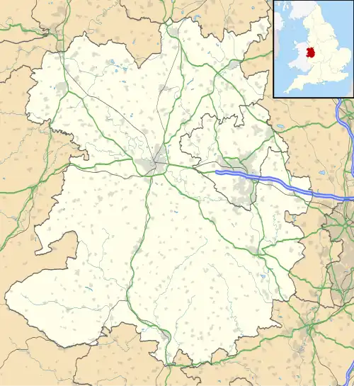 Wrockwardine Wood and Trench Location within Shropshire | |
| Area | 2.522 km2 (0.974 sq mi) |
| Population | 5,642 (2021 census) |
| • Density | 2,237/km2 (5,790/sq mi) |
| Civil parish |
|
| Unitary authority | |
| Ceremonial county | |
| Region | |
| Country | England |
| Sovereign state | United Kingdom |
| Police | West Mercia |
| Fire | Shropshire |
| Ambulance | West Midlands |
| Website | https://wwtpc.org.uk/ |
Wrockwardine Wood and Trench, formerly Wrockwardine Wood is a civil parish in the unitary area of Telford and Wrekin,[1] in the ceremonial county of Shropshire, England.
It includes the villages of Trench in the north of the parish and Wrockwardine Wood in the south. It has a parish council made up of eight councillors representing Trench ward, and one each for Kewray Drive Ward, Wrockwardine Wood East, and Wrockwardine Wood West.[2][3] In 2021 the parish had a population of 5,642.[4] The parish was formed on 1 April 1988 as "Wrockwardine Wood", on 10 May 1989 the parish was renamed to "Wrockwardine Wood and Trench".[5]
The Cockshutt is a local nature reserve in the south of the parish, just north of the A442 road.[6][7]
See also
References
- ^ "Wrockwardine Wood and Trench [map]". mapit.mysociety.org. Mapit. Retrieved 19 December 2024.
- ^ "Councillors". Wrockwardine Wood and Trench Parish Council. Retrieved 19 December 2024.
- ^ "Wrockwardine Wood and Trench Parish Council". www.telford.gov.uk. Telford & Wrekin Council. Retrieved 19 December 2024.
- ^ "Wrockwardine Wood and Trench". City Population. Retrieved 23 December 2024.
- ^ "Wrekin Registration District". UKBMD. Retrieved 23 December 2024.
- ^ "The Cockshutt". www.telford.gov.uk. Telford & Wrekin Council. Retrieved 19 December 2024.
- ^ "The Cockshutt". Wrockwardine Wood and Trench Parish Council. Retrieved 19 December 2024.
External links