The Farrington
The Farrington | |
|---|---|
District | |
 The Farrington | |
| Coordinates: 18°12′46″N 63°01′48″W / 18.21280°N 63.03002°W | |
| Country | |
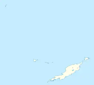
| Overseas Territory | Anguilla |
| Area | |
| • Land | 4.50 km2 (1.74 sq mi) |
| Population (2011)[1] | |
• Total | 624 |
The Farrington is one of the fourteen Districts of Anguilla. Its population at the 2011 census was 624.[1]
Demographics
| Year | 1984 | 1994 | 2001 | 2011 |
|---|---|---|---|---|
| Population | 222 | 304 | 546 | 624 [1] |
References
- ^ a b c "Anguilla census data". Statoids.com. Retrieved 11 May 2021.
| History |  | |
|---|---|---|
| Districts | ||
| Education |
| |
| Transport | ||
| Landmarks | ||
| Symbols | ||
This list is incomplete. | ||
18°12′46″N 63°01′48″W / 18.21280°N 63.03002°W