The Gap, South Australia
| The Gap South Australia | |
|---|---|
 The Gap | |
| Coordinates | 36°42′14″S 140°44′19″E / 36.70389°S 140.73861°E |
| Population | 21 (2016 census)[1] |
| Established | 12 April 2001[2] |
| Postcode(s) | 5271 |
| LGA(s) | Naracoorte Lucindale Council |
| State electorate(s) | MacKillop |
| Federal division(s) | Barker |
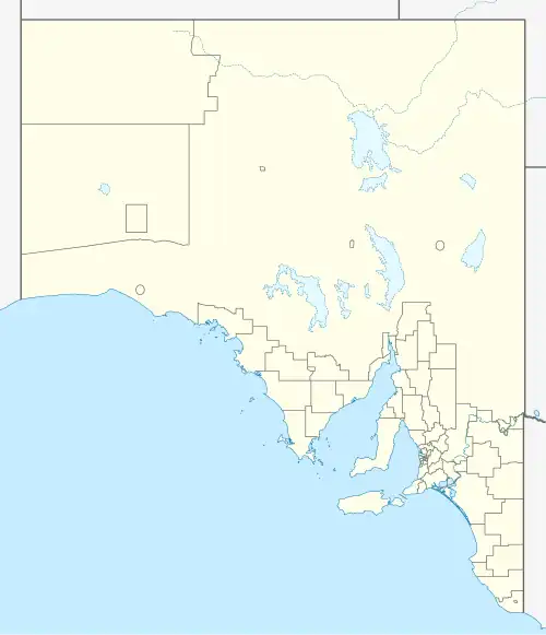
The Gap is a locality located within the Naracoorte Lucindale Council in the Limestone Coast region of South Australia.
References
- ^ Australian Bureau of Statistics (27 June 2017). "The Gap (State Suburb)". 2016 Census QuickStats. Retrieved 1 August 2017.
- ^ "GEOGRAPHICAL NAMES ACT 1991 Notice to Assign a Boundary to a Place (to areas within the Naracoorte Lucindale Council)" (PDF). South Australian Government Gazette. South Australian government. 12 April 2001. p. 1587. Retrieved 24 February 2018.