Threapwood, Staffordshire
| Threapwood | |
|---|---|
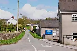 Sandy Lane, Threapwood | |
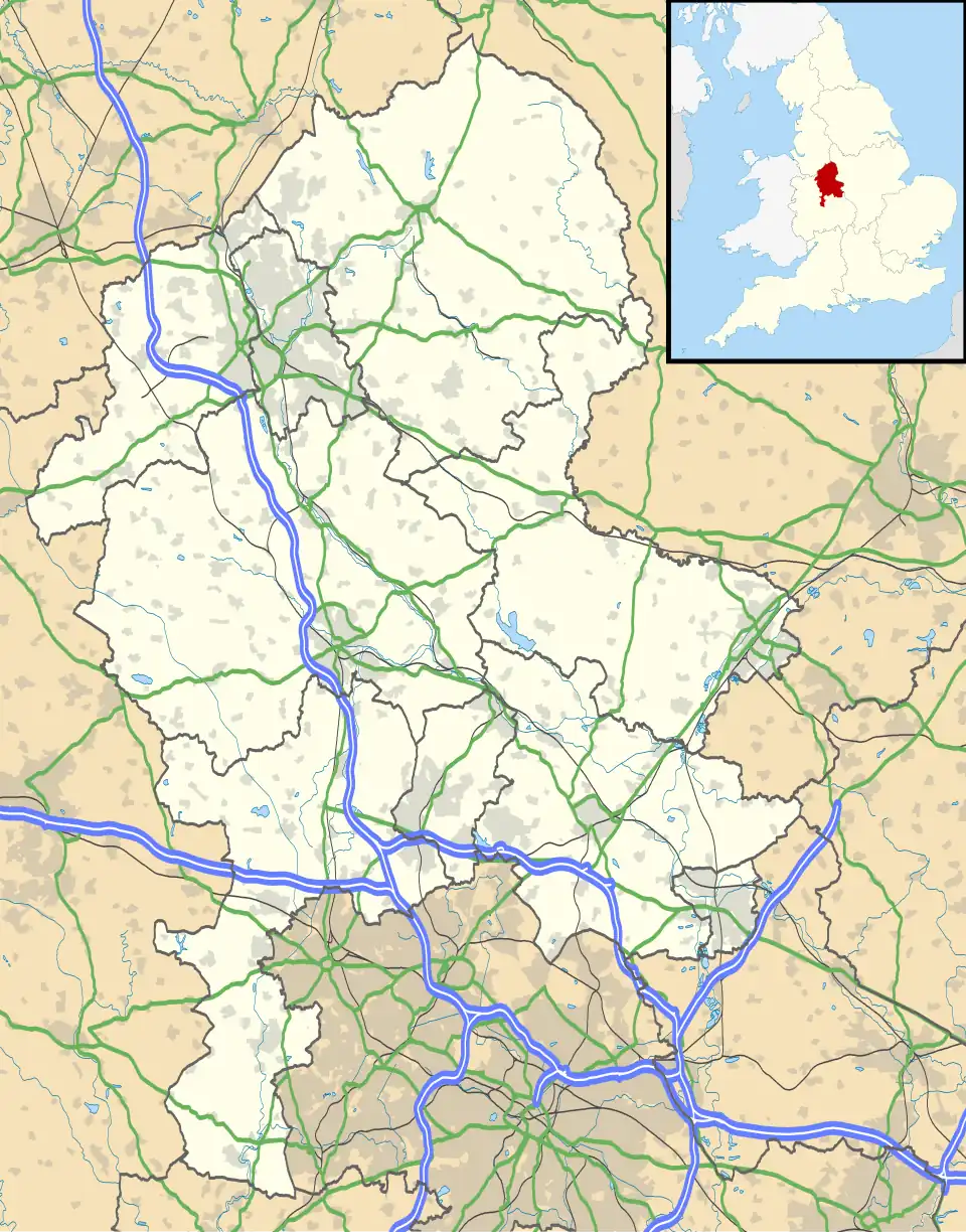 Threapwood Location within Staffordshire | |
| OS grid reference | SK039428 |
| Civil parish | |
| District | |
| Shire county | |
| Region | |
| Country | England |
| Sovereign state | United Kingdom |
| Post town | CHEADLE |
| Postcode district | ST10 |
| Police | Staffordshire |
| Fire | Staffordshire |
| Ambulance | West Midlands |
| UK Parliament | |
Threapwood is a hamlet[1] in the Staffordshire Moorlands district in the county of Staffordshire, England.[2] Threapwood is located to the east of Cheadle and is part of the civil parish of Cheadle.[3] The hamlet was once home to a primitive methodist chapel, located on Chapel Lane in Threapwood Head.[4] This chapel was built in 1835 and it survived until 1955, when it became a methodist church. However, by 1970 the building had disappeared, possibly demolished or converted. Today the site is occupied by Chapel House, which incorporates the rear of the old chapel.[5]
References
- ^ "Threapwood, Staffordshire (Hamlet)". gazetteer.org.uk. Retrieved 8 August 2025.
- ^ "Historic Ordnance Survey Map of Threapwood, 1902". www.francisfrith.com. Retrieved 8 August 2025.
- ^ "Threapwood photos, maps, books, memories - Francis Frith". www.francisfrith.com. Retrieved 8 August 2025.
- ^ Archives, The National. "The Discovery Service". discovery.nationalarchives.gov.uk. Retrieved 8 August 2025.
- ^ "Threapwood Head Primitive Methodist chapel". My Primitive Methodists. Retrieved 8 August 2025.