Thrumpton
| Thrumpton | |
|---|---|
| Village and civil parish | |
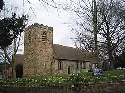 Church of All Saints, Thrumpton | |
Parish map | |
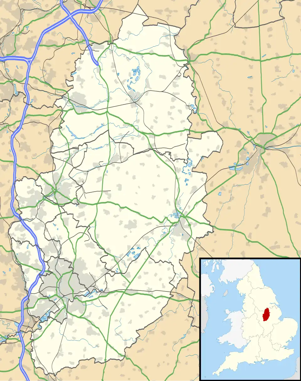 Thrumpton Location within Nottinghamshire | |
| Area | 1.58 sq mi (4.1 km2) |
| Population | 178 (2021) |
| • Density | 113/sq mi (44/km2) |
| OS grid reference | SK 516309 |
| • London | 105 mi (169 km) SSE |
| District | |
| Shire county | |
| Region | |
| Country | England |
| Sovereign state | United Kingdom |
| Post town | NOTTINGHAM |
| Postcode district | NG11 |
| Dialling code | 0115 |
| Police | Nottinghamshire |
| Fire | Nottinghamshire |
| Ambulance | East Midlands |
| UK Parliament | |
| Website | www.thrumpton.org.uk/ |
Thrumpton is a village and civil parish in Nottinghamshire, England. At the time of the 2001 census it had a population of 152,[1] increasing to 165 at the 2011 census,[2] and 178 at the 2021 census.[3] It is located on the A453 road 6 miles (9.7 km) south-west of West Bridgford. The 13th century Church of All Saints is Grade II* listed and was restored in 1871.[4] Many of the gabled brick houses in the village were built between 1700 and 1745 by John Emerton of Thrumpton Hall.[5]
See also
References

- ^ "Area: Thrumpton CP (Parish)"
- ^ "Civil parish population 2011". Neighbourhood Statistics. Office for National Statistics. Retrieved 16 April 2016.
- ^ UK Census (2021). "2021 Census Area Profile – Thrumpton parish (E04008008)". Nomis. Office for National Statistics. Retrieved 13 February 2024.
- ^ Historic England. "Church of All Saints (1242423)". National Heritage List for England. Retrieved 1 July 2016.
- ^ Pevsner, Nikolaus. 1979. The Buildings of England:Nottinghamshire. pp. 353–354.Harmondsworth, Middx. Penguin.
External links
![]() Media related to Thrumpton at Wikimedia Commons
Media related to Thrumpton at Wikimedia Commons