Tierra Blanca Mountains
| Tierra Blanca Mountains | |
|---|---|
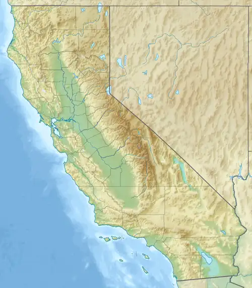 Tierra Blanca Mountains location of Tierra Blanca Mountains in California[1] | |
| Highest point | |
| Elevation | 661 m (2,169 ft) |
| Geography | |
| Country | United States |
| State | California |
| District | San Diego County |
| Range coordinates | 32°53′25.188″N 116°15′45.052″W / 32.89033000°N 116.26251444°W |
| Topo map | USGS Agua Caliente Springs |
The Tierra Blanca Mountains are in San Diego County, California, between the Vallecito Mountains and the In-Ko-Pah Mountains. The range is located to the west of the community of Canebrake and the Carrizo Badlands.
References