Tina, Guadalcanal
Tina | |
|---|---|
Village | |
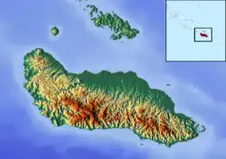 Tina Location in Guadalcanal | |
| Coordinates: 9°16′19″S 159°39′53″E / 9.27194°S 159.66472°E | |
| Country | |
| Province | Guadalcanal |
| Island | Guadalcanal |
| Time zone | UTC+11 (UTC) |
Tina is a village just south of Taba near the northwest coast of Guadalcanal, Solomon Islands. It is located 43.8 kilometres (27.2 mi) by road northwest of Honiara.[1]
References
- ^ Maps (Map). Google Maps.