Topolog (Danube)
| Topolog | |
|---|---|
 | |
| Location | |
| Country | Romania |
| Counties | Tulcea, Constanța |
| Villages | Topolog, Rahman, Stejaru, Saraiu |
| Physical characteristics | |
| Source | Casimcea Plateau |
| Mouth | Lake Hazarlâc |
• coordinates | 44°43′08″N 28°03′57″E / 44.7188°N 28.0659°E |
| Length | 50 km (31 mi) |
| Basin size | 342 km2 (132 sq mi) |
| Basin features | |
| Progression | Lake Hazarlâc→ Danube→ Black Sea |
| Tributaries | |
| • left | Valea Dulgherului, Cișmelei, Bentu |
| River code | XIV.1.47 |
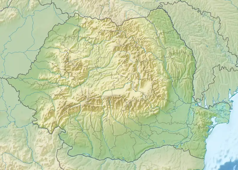
The Topolog is a river in Dobruja, Romania, a right tributary of the Danube.[1][2][3] It rises near the commune of Topolog, in the Casimcea Plateau of Tulcea County forming the Topolog Depression, which divides the Plateau in two parts: the Casimcea Plateau proper (to the east) and the Hârșova Plateau (to the west). Initially, it flows from northwest toward southeast, but eventually, it changes to east-west, spilling into Lake Hazarlâc, which is connected with the Danube. Its length is 50 km (31 mi) and its basin size is 342 km2 (132 sq mi).[2][4]
References
- ^ "Planul național de management. Sinteza planurilor de management la nivel de bazine/spații hidrografice, anexa 7.1" (PDF, 5.1 MB). Administrația Națională Apele Române. 2010. p. 1095.
- ^ a b Atlasul cadastrului apelor din România. Partea 1 (in Romanian). Bucharest: Ministerul Mediului. 1992. p. 484. OCLC 895459847. River code: XIV.1.47
- ^ Cursuri de apă din județul Constanța înscrise în Cadastrul Apelor din România
- ^ Zaharia, L.; Pișota, I. (2003). "Apele Dobrogei" (PDF). Analele Universității București: Geografie (in Romanian): 120.